Transport Functions
Rail
Road
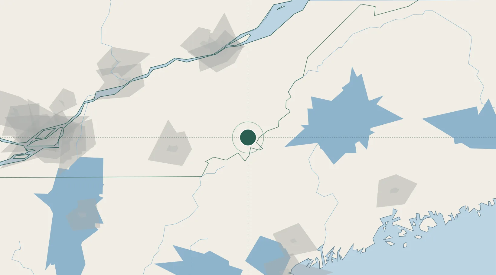
Hub Profile
Place type
Populated place
Region
Quebec
Population
5,747
Time zone
America/Toronto
Elevation
396 m
Location
Nearby Logistics Neighbours
Cities
- 1Lac-Drolet17 km
- 2La Guadeloupe43 km
- 3Jackman48 km
- 4Saint-Côme-Linière61 km
- 5Saint-Isidore d'Auckland62 km
Ports
- 1Quebec142 km
- 2Port De Becancour150 km
- 3Trois Rivieres158 km
- 4Augusta163 km
- 5Gardiner171 km
Airports
Trade Zones
- 1Québec City FTZ144 km
- 2FTZ No. 186 Waterville145 km
- 3FTZ No. 263 Auburn171 km
- 4FTZ No. 058 Bangor180 km
- 5Greater Montreal Free Zone Center211 km
DatabookThe Record of Consolidated Knowledge
Canada beyond logistics?