UN/LOCODE hub · United States
USITL
Whiteland
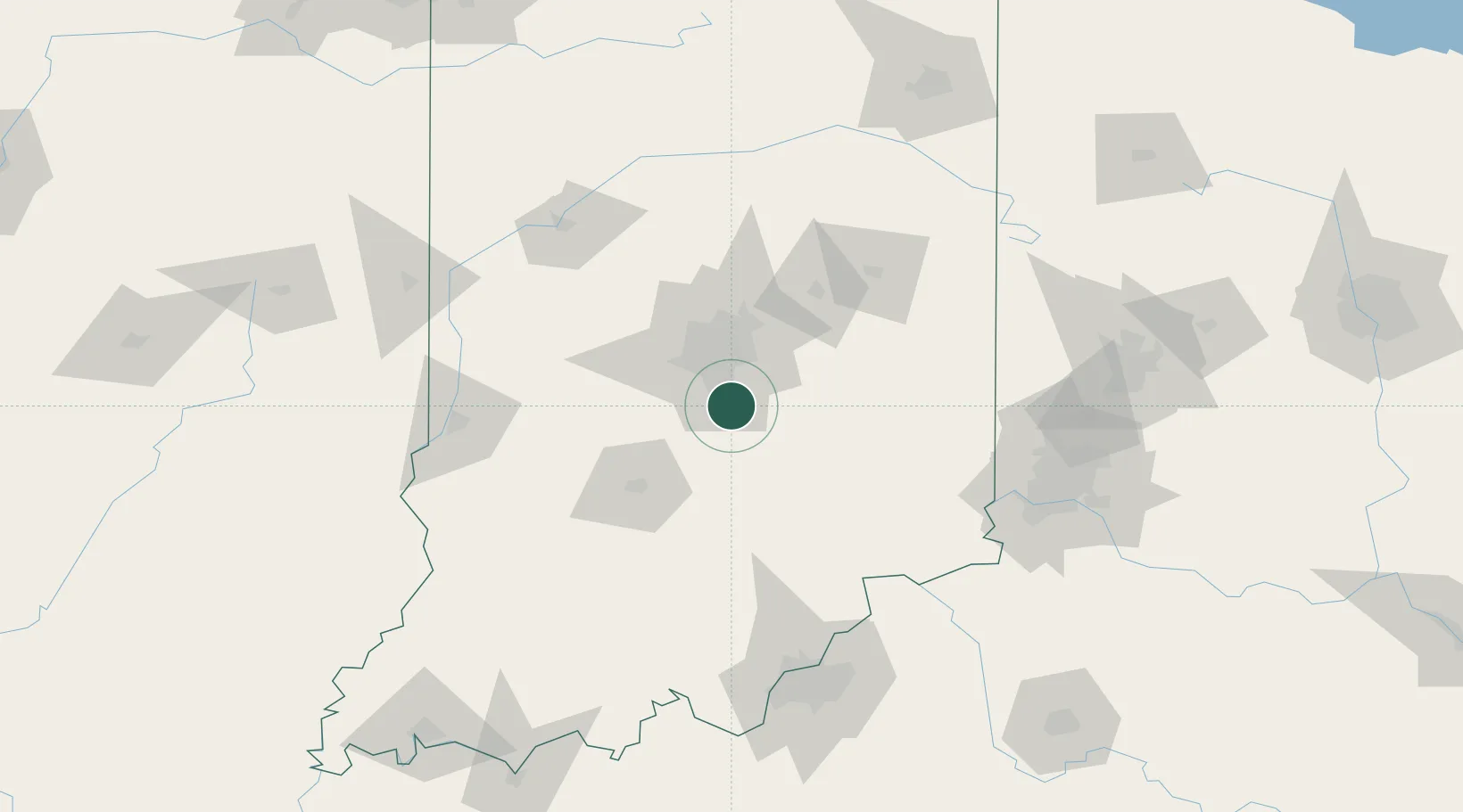
39.5500°, -86.0833°
4,320
Population
3
Transport functions
Transport Functions
Rail
Road
Multimodal
Hub Profile
Place type
Populated place
Region
Indiana
Population
4,320
Time zone
America/Indiana/Indianapolis
Elevation
242 m
Location
Nearby Logistics Neighbours
Cities
- 1Waterloo, Johnson10 km
- 2Southport12 km
- 3Trafalgar18 km
- 4Fairland19 km
- 5Camby24 km
Ports
- 1Michigan City252 km
- 2Gary253 km
- 3Indiana Harbor262 km
- 4Calumet Harbor271 km
- 5St Joseph287 km
Airports
Trade Zones
- 1FTZ No. 072 Indianapolis28 km
- 2FTZ No. 047 Boone County122 km
- 3FTZ No. 046 CIncinnati144 km
- 4FTZ No. 029 Louisville145 km
- 5FTZ No. 100 Dayton156 km
DatabookThe Record of Consolidated Knowledge
United States beyond logistics?