Transport Functions
Rail
Road
Hub Profile
Place type
Populated place
Region
Indiana
Population
587
Time zone
America/Indiana/Indianapolis
Elevation
236 m
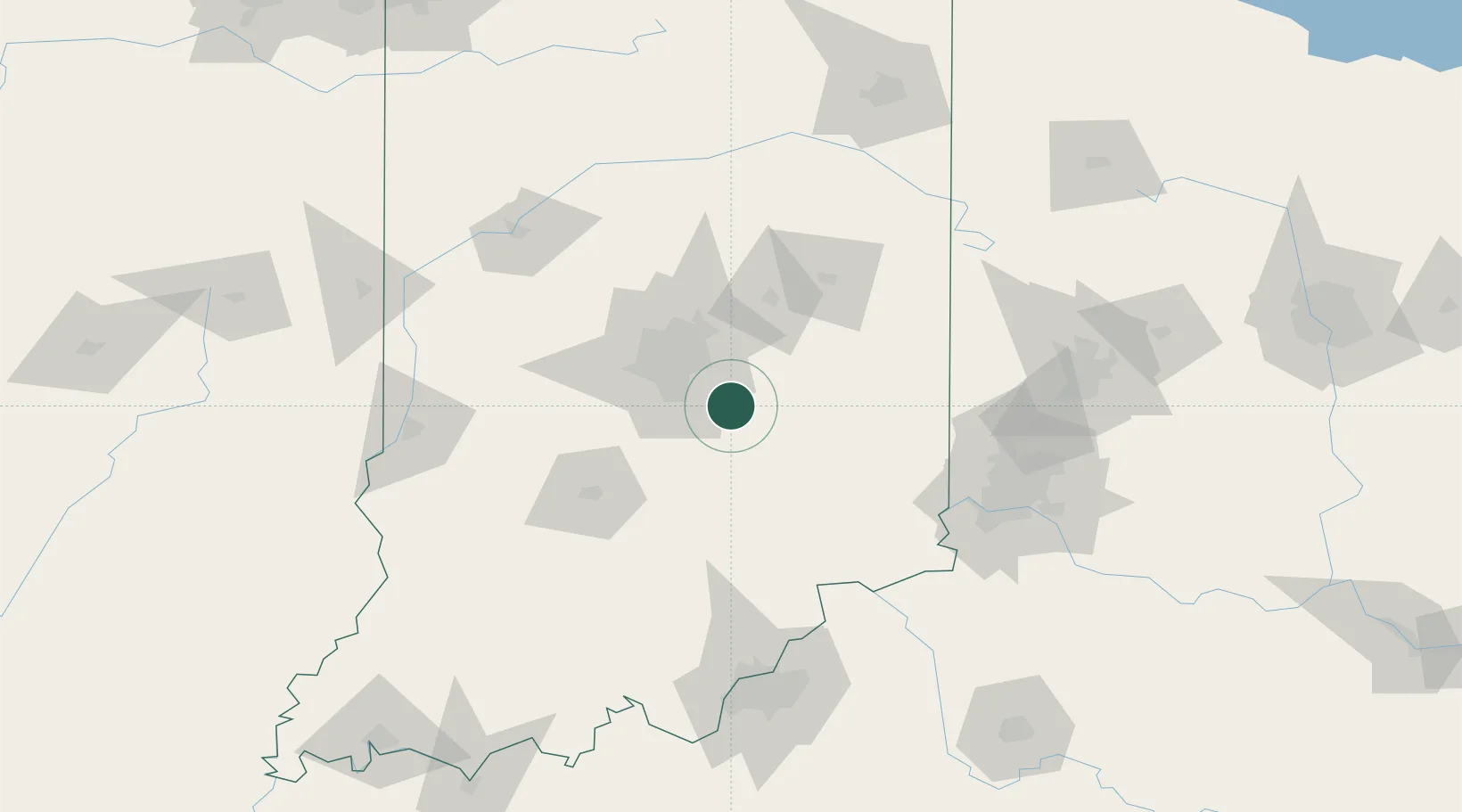
Location
Nearby Logistics Neighbours
Cities
- 1Whiteland19 km
- 2Southport23 km
- 3Middletown, Shelby23 km
- 4Flat Rock26 km
- 5Waterloo, Johnson29 km
Ports
- 1Michigan City255 km
- 2Gary258 km
- 3Indiana Harbor267 km
- 4Calumet Harbor277 km
- 5St Joseph286 km
Airports
Trade Zones
- 1FTZ No. 072 Indianapolis41 km
- 2FTZ No. 047 Boone County109 km
- 3FTZ No. 046 CIncinnati128 km
- 4FTZ No. 100 Dayton138 km
- 5FTZ No. 029 Louisville146 km
DatabookThe Record of Consolidated Knowledge
United States beyond logistics?