Transport Functions
Rail
Road
Hub Profile
Place type
Populated place
Region
Ohio
Time zone
America/New_York
Elevation
262 m
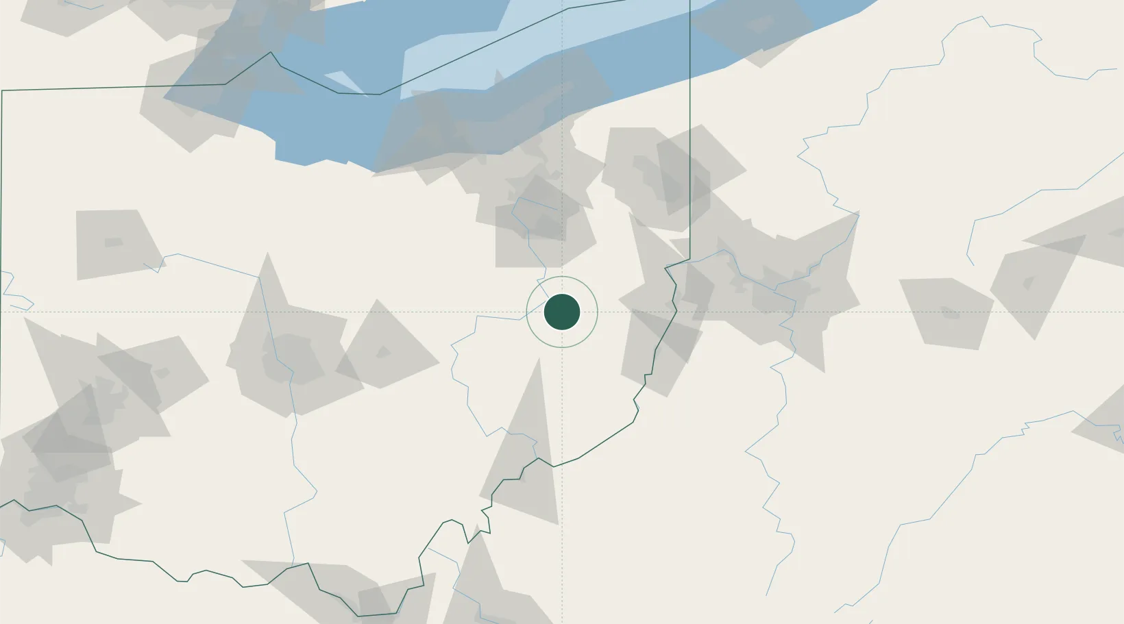
Location
Nearby Logistics Neighbours
Cities
- 1Brilliant11 km
- 2Midvale14 km
- 3Cadiz27 km
- 4Mineral City32 km
- 5Sugarcreek34 km
Airports
Trade Zones
- 1FTZ No. 181 Akron Canton80 km
- 2FTZ No. 033 Pittsburgh108 km
- 3FTZ No. 040 Cleveland139 km
- 4FTZ No. 138 Franklin County149 km
- 5FTZ No. 151 Findlay217 km
DatabookThe Record of Consolidated Knowledge
United States beyond logistics?