Transport Functions
Port
Multimodal
Hub Profile
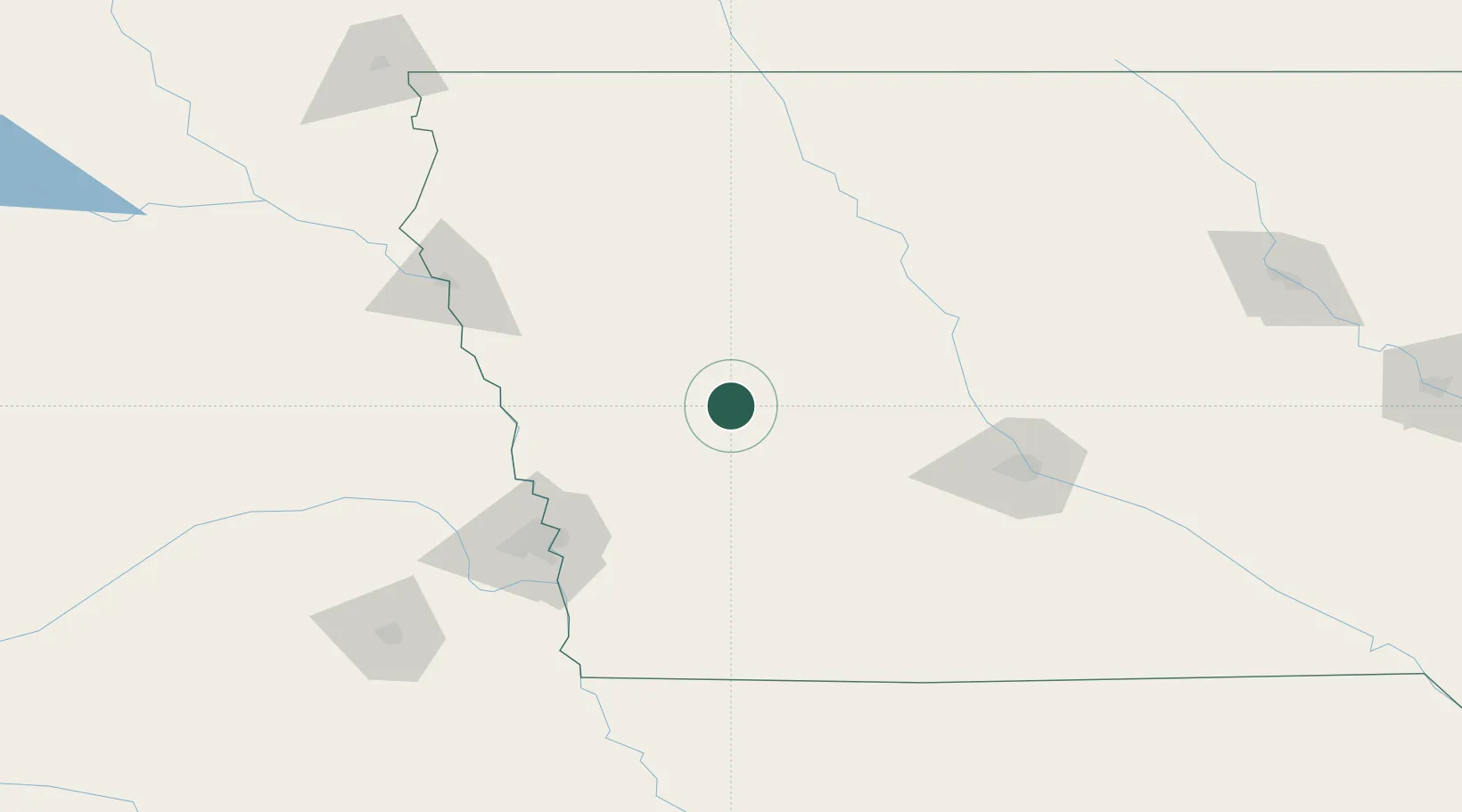
Place type
Populated place
Region
Iowa
Population
1,472
Time zone
America/Chicago
Elevation
414 m
Location
Nearby Logistics Neighbours
Airports
Trade Zones
- 1FTZ No. 107 Polk County114 km
- 2FTZ No. 288 Northwest Iowa164 km
- 3FTZ No. 059 Lincoln193 km
- 4FTZ No. 133 Quad-Cities, Iowa Illinois222 km
- 5FTZ No. 220 Sioux Falls232 km
DatabookThe Record of Consolidated Knowledge
United States beyond logistics?