Transport Functions
Port
Hub Profile
Place type
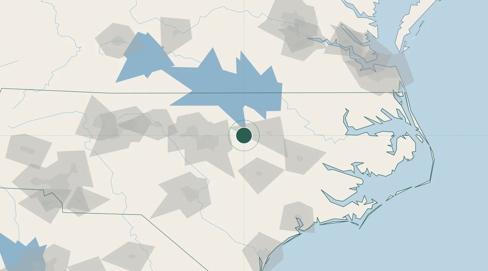
Populated place
Region
North Carolina
Population
435
Time zone
America/New_York
Elevation
51 m
Location
Nearby Logistics Neighbours
Cities
- 1Middlesex17 km
- 2Nashville20 km
- 3Rolesville24 km
- 4Knightdale31 km
- 5Elm City32 km
Ports
- 1Washington111 km
- 2Plymouth129 km
- 3New Bern138 km
- 4Edenton142 km
- 5Belhaven146 km
Airports
Trade Zones
- 1FTZ No. 093 Raleigh Durham65 km
- 2FTZ No. 214 Lenoir County84 km
- 3FTZ No. 230 Piedmont Triad Area179 km
- 4FTZ No. 020 Suffolk181 km
- 5FTZ No. 207 Richmond185 km
DatabookThe Record of Consolidated Knowledge
United States beyond logistics?