Transport Functions
Road
Multimodal
Hub Profile
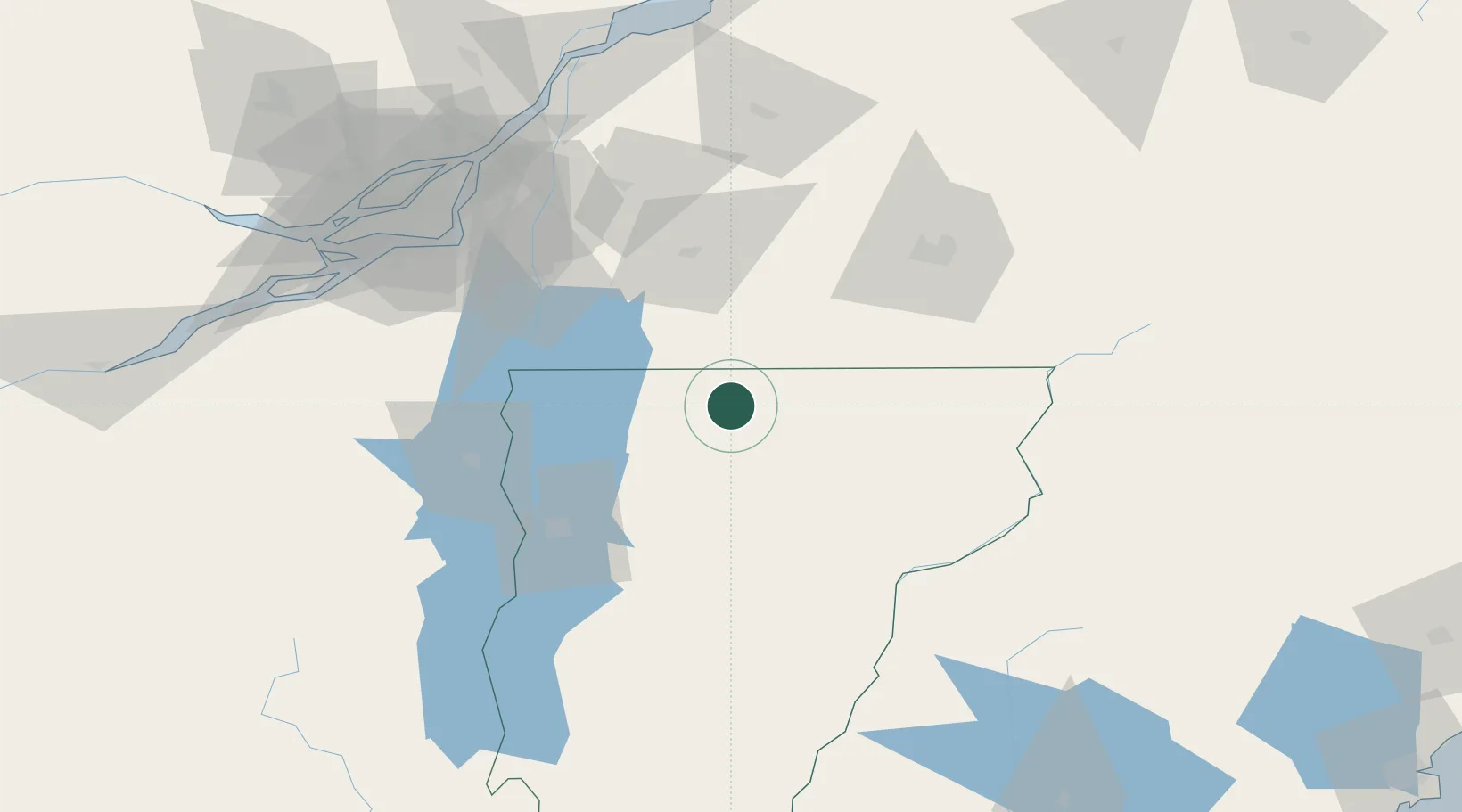
Place type
Populated place
Region
Vermont
Time zone
America/New_York
Elevation
191 m
Location
Nearby Logistics Neighbours
Cities
- 1Eden21 km
- 2Cowansville36 km
- 3Morrisville37 km
- 4Saint-Armand37 km
- 5Stanbridge Station39 km
Ports
- 1Montreal103 km
- 2Beauharnois112 km
- 3Contrecour121 km
- 4Vaudreuil126 km
- 5Coteau Landing132 km
Airports
Trade Zones
- 1Greater Montreal Free Zone Center103 km
- 2FTZ No. 263 Auburn209 km
- 3FTZ No. 268 Brattleboro225 km
- 4FTZ No. 118 Ogdensburg230 km
- 5FTZ No. 186 Waterville232 km
DatabookThe Record of Consolidated Knowledge
United States beyond logistics?