Medium airport · Canada
St Jean AirportCYJN
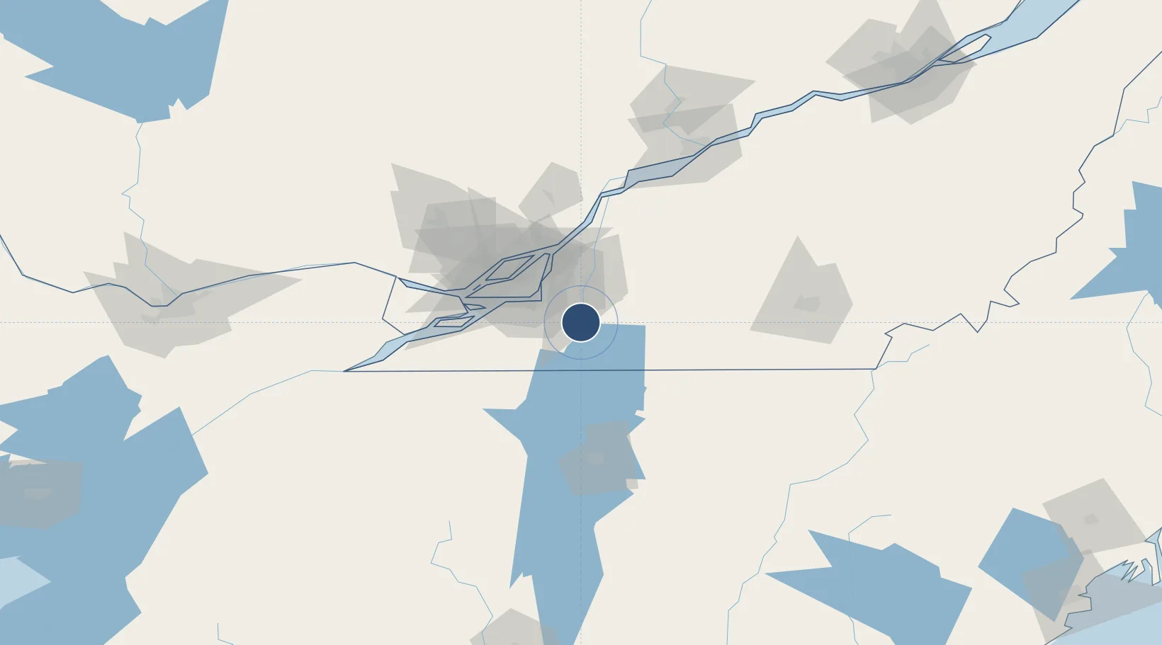
45.2944°, -73.2811°
4,000 ft
Longest runway
3
Runways
136 ft
Elevation
Runway & Layout

Radio Frequencies
TWR
118.2 MHz
GND
121.7 MHz
A/D
125.15 MHz
MONTREAL APP DEP
A/G
134.15 MHz
VFR ADVSY
ATF
118.2 MHz
Navaids
YJN VORTAC St-Jean 115.80 MHz
Runways · 3
| Runway | Dimensions | Surface | True heading | Lit |
|---|---|---|---|---|
| 11/29 | 4,000 × 100ft | Asphalt | 090° | ✓ |
| 06/24 | 2,765 × 100ft | Asphalt | 045° | — |
| 02/20 | 2,474 × 100ft | Asphalt | 360° | — |
Airport Specifications
IATA code
YJN
ICAO code
CYJN
Airport class
Medium airport
Scheduled service
No
Runway surface
Asphalt
Served city
St Jean
Location
Nearby Logistics Neighbours
Airports
Cities
- 1Saint-Jean-sur-Richelieu3 km
- 2Saint-Jacques-le-Mineur11 km
- 3Saint-Sébastien20 km
- 4Saint-Constant23 km
- 5Farnham23 km
Ports
- 1Montreal32 km
- 2Beauharnois47 km
- 3Vaudreuil60 km
- 4Oka Sur Le Lac66 km
- 5Contrecour66 km
Trade Zones
- 1Greater Montreal Free Zone Center32 km
- 2FTZ No. 118 Ogdensburg187 km
- 3Québec City FTZ232 km
- 4FTZ No. 109 Watertown253 km
- 5FTZ No. 268 Brattleboro276 km
DatabookThe Record of Consolidated Knowledge
Canada beyond logistics?