Transport Functions
Rail
Road
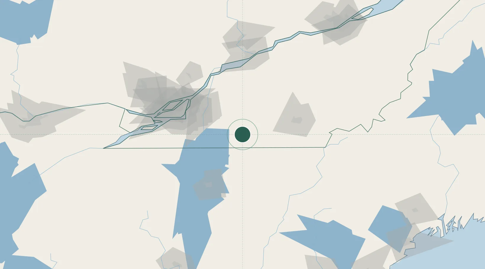
Hub Profile
Place type
Populated place
Region
Quebec
Population
10,887
Time zone
America/Toronto
Elevation
117 m
Location
Nearby Logistics Neighbours
Cities
- 1Waterloo22 km
- 2Stanbridge Station23 km
- 3Farnham24 km
- 4Sainte-Anne-de-la-Rochelle29 km
- 5Saint-Paul-d'Abbotsford30 km
Ports
- 1Montreal75 km
- 2Contrecour85 km
- 3Beauharnois94 km
- 4Sorel100 km
- 5Vaudreuil107 km
Airports
Trade Zones
- 1Greater Montreal Free Zone Center76 km
- 2Québec City FTZ213 km
- 3FTZ No. 118 Ogdensburg228 km
- 4FTZ No. 263 Auburn232 km
- 5FTZ No. 186 Waterville247 km
DatabookThe Record of Consolidated Knowledge
Canada beyond logistics?