UN/LOCODE hub · United States
USORS
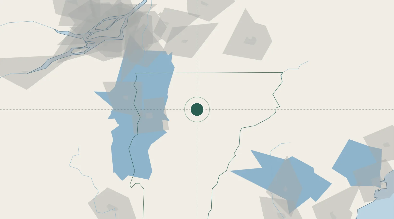
Morrisville
44.5500°, -72.5833°
2,040
Population
3
Transport functions
Transport Functions
Rail
Road
Multimodal
Hub Profile
Place type
Populated place
Region
Vermont
Population
2,040
Time zone
America/New_York
Elevation
207 m
Location
Nearby Logistics Neighbours
Cities
- 1Eden17 km
- 2Montpelier33 km
- 3Montgomery Center37 km
- 4Berlin Corners39 km
- 5Barre41 km
Ports
- 1Montreal132 km
- 2Beauharnois133 km
- 3Vaudreuil148 km
- 4Coteau Landing149 km
- 5St Zotique153 km
Airports
Trade Zones
- 1Greater Montreal Free Zone Center131 km
- 2FTZ No. 268 Brattleboro188 km
- 3FTZ No. 263 Auburn196 km
- 4FTZ No. 081 Portsmouth217 km
- 5FTZ No. 121 Albany227 km
DatabookThe Record of Consolidated Knowledge
United States beyond logistics?