Transport Functions
Port
Road
Hub Profile
Place type
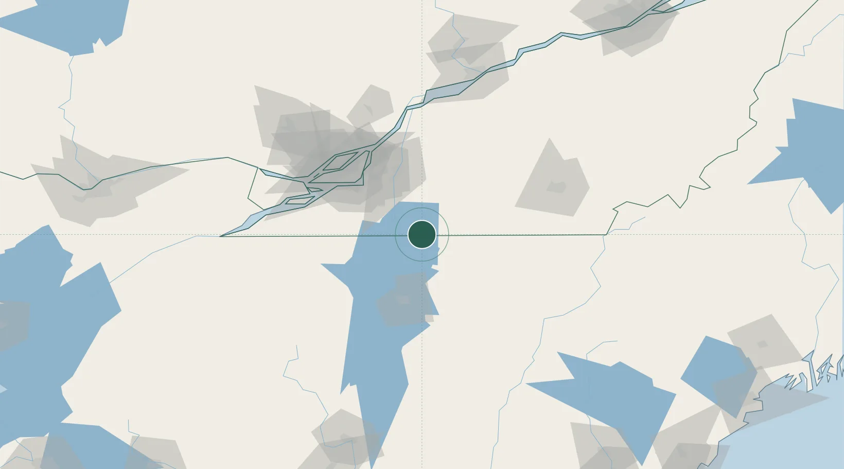
Populated place
Region
Quebec
Time zone
America/Toronto
Elevation
61 m
Location
Nearby Logistics Neighbours
Cities
- 1Philipsburg3 km
- 2Stanbridge Station12 km
- 3East Alburg16 km
- 4Saint-Sébastien17 km
- 5Saint-Paul-de-l'Île-aux-Noix21 km
Ports
- 1Montreal69 km
- 2Beauharnois75 km
- 3Vaudreuil89 km
- 4Coteau Landing95 km
- 5Oka Sur Le Lac96 km
Airports
Trade Zones
- 1Greater Montreal Free Zone Center69 km
- 2FTZ No. 118 Ogdensburg198 km
- 3FTZ No. 268 Brattleboro242 km
- 4Québec City FTZ244 km
- 5FTZ No. 263 Auburn246 km
DatabookThe Record of Consolidated Knowledge
Canada beyond logistics?