Transport Functions
Port
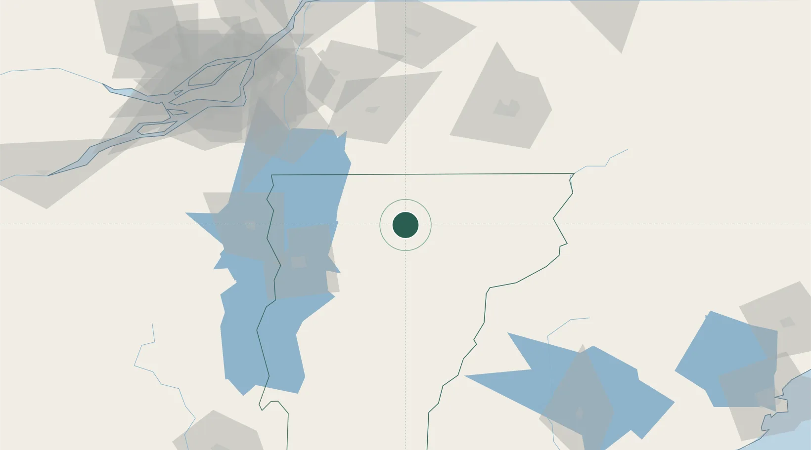
Hub Profile
Place type
Populated place
Region
Vermont
Time zone
America/New_York
Elevation
343 m
Location
Nearby Logistics Neighbours
Cities
- 1Morrisville17 km
- 2Montgomery Center21 km
- 3Saint Albans45 km
- 4Milton47 km
- 5Montpelier50 km
Ports
- 1Montreal121 km
- 2Beauharnois126 km
- 3Vaudreuil141 km
- 4Contrecour142 km
- 5Coteau Landing145 km
Airports
Trade Zones
- 1Greater Montreal Free Zone Center121 km
- 2FTZ No. 263 Auburn197 km
- 3FTZ No. 268 Brattleboro205 km
- 4FTZ No. 186 Waterville225 km
- 5FTZ No. 081 Portsmouth227 km
DatabookThe Record of Consolidated Knowledge
United States beyond logistics?