Transport Functions
Rail
Road
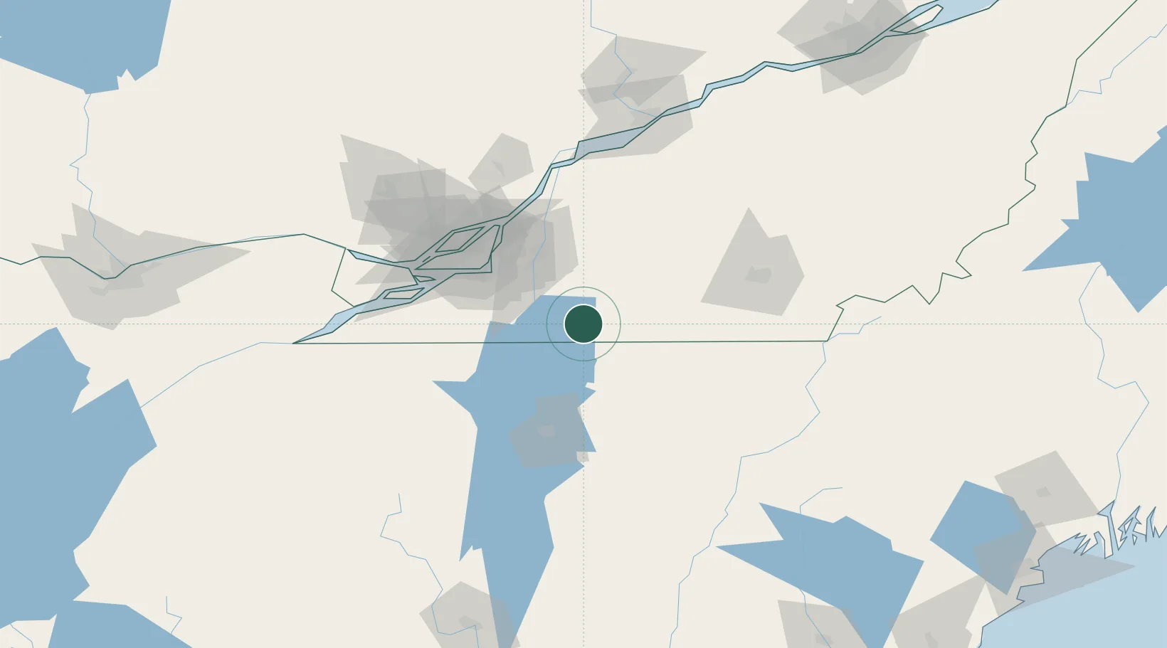
Hub Profile
Place type
Populated place
Region
Quebec
Time zone
America/Toronto
Elevation
49 m
Location
Nearby Logistics Neighbours
Cities
- 1Philipsburg12 km
- 2Saint-Armand12 km
- 3Saint-Sébastien14 km
- 4Farnham19 km
- 5Cowansville23 km
Ports
- 1Montreal64 km
- 2Beauharnois75 km
- 3Contrecour87 km
- 4Vaudreuil89 km
- 5Oka Sur Le Lac96 km
Airports
Trade Zones
- 1Greater Montreal Free Zone Center64 km
- 2FTZ No. 118 Ogdensburg205 km
- 3Québec City FTZ232 km
- 4FTZ No. 263 Auburn246 km
- 5FTZ No. 268 Brattleboro253 km
DatabookThe Record of Consolidated Knowledge
Canada beyond logistics?