Transport Functions
Rail
Road
Multimodal
Hub Profile
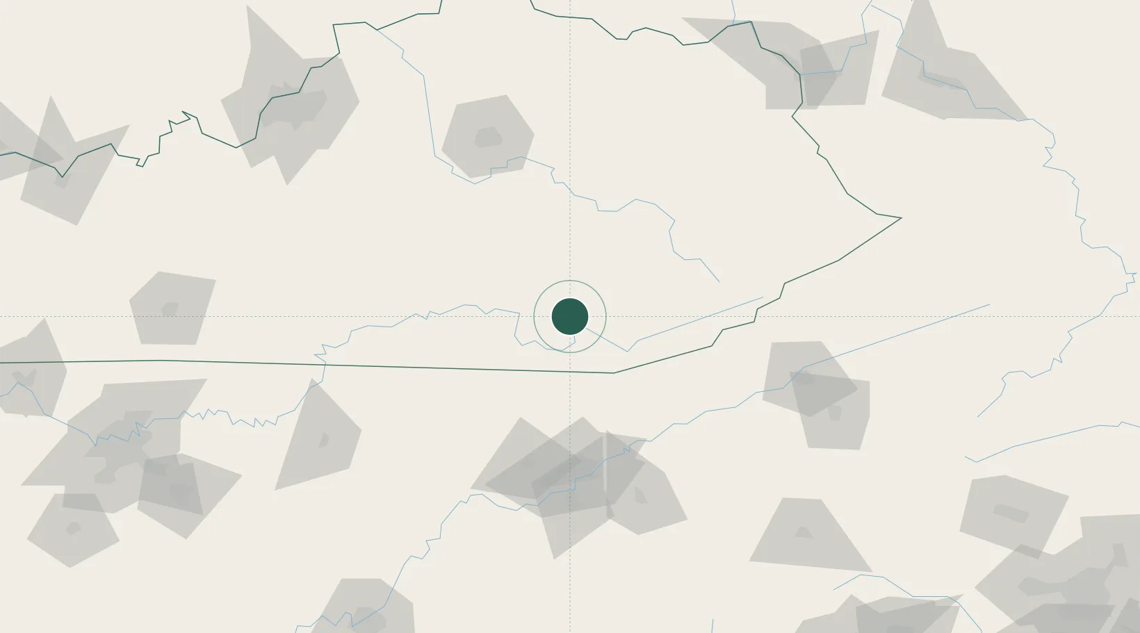
Place type
Populated place
Region
Kentucky
Time zone
America/New_York
Elevation
338 m
Location
Nearby Logistics Neighbours
Cities
- 1Barbourville12 km
- 2East Bernstadt30 km
- 3Manchester33 km
- 4Jellico41 km
- 5Newcomb45 km
Ports
- 1Huron512 km
- 2Sandusky514 km
- 3Port Clinton518 km
- 4Vermilion520 km
- 5Lorain528 km
Airports
Trade Zones
- 1FTZ No. 148 Knoxville107 km
- 2FTZ No. 204 Tri-Cities150 km
- 3FTZ No. 029 Louisville217 km
- 4FTZ No. 047 Boone County239 km
- 5FTZ No. 134 Chattanooga239 km
DatabookThe Record of Consolidated Knowledge
United States beyond logistics?