Transport Functions
Port
Road
Hub Profile
Place type
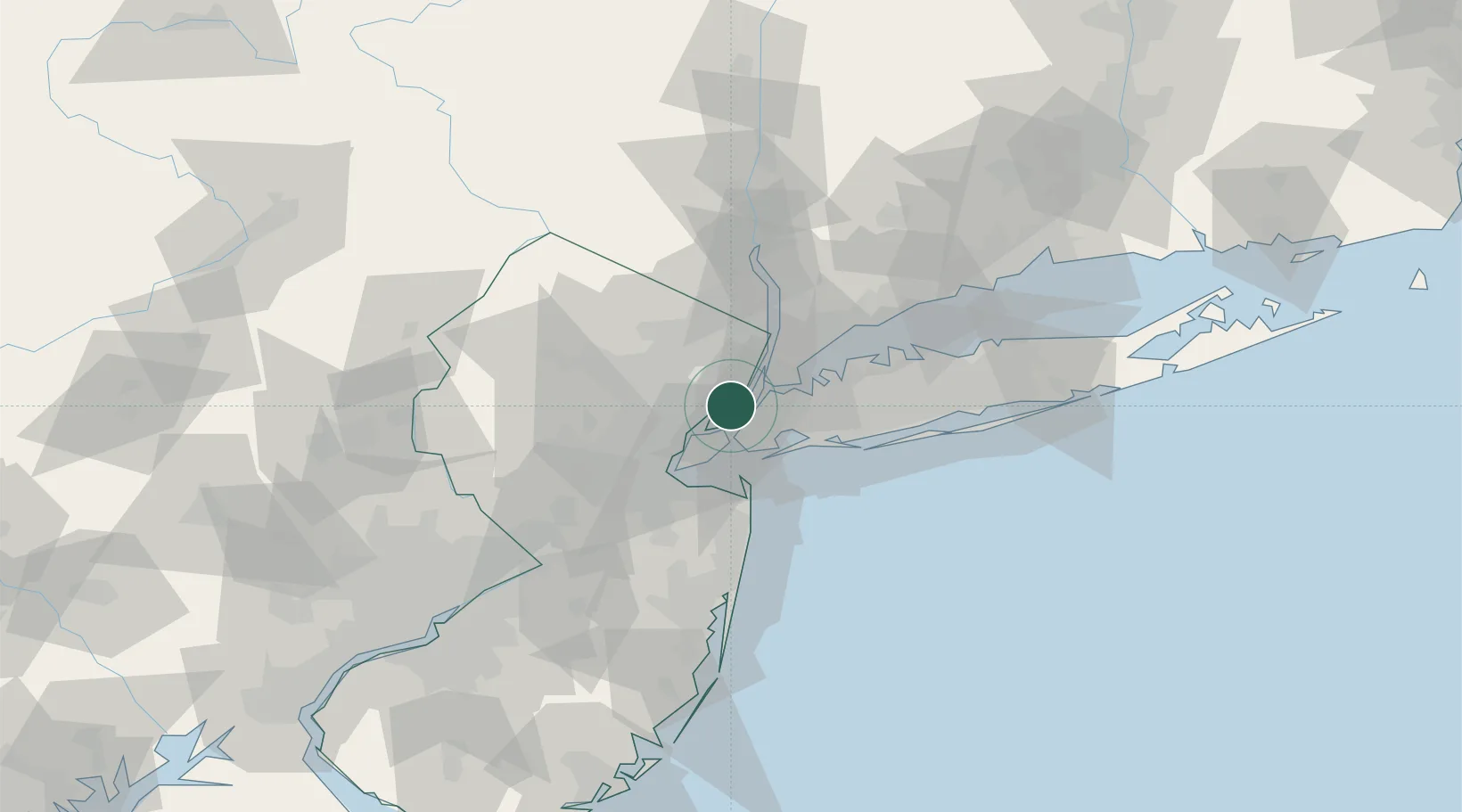
Urban district
Region
New Jersey
Time zone
America/New_York
Elevation
17 m
Location
Nearby Logistics Neighbours
Cities
- 1Jersey City4 km
- 2South Kearny5 km
- 3Brooklyn/New York7 km
- 4Guttenberg7 km
- 5Arlington8 km
Ports
- 1Jersey City2 km
- 2Hoboken3 km
- 3Weehawken5 km
- 4New York City5 km
- 5Bayonne7 km
Airports
Trade Zones
DatabookThe Record of Consolidated Knowledge
United States beyond logistics?