UN/LOCODE hub · United States
USGGM

Morgan

41.0333°, -111.6833°
4,049
Population
2
Transport functions

Transport Functions

Road
Multimodal
UN/LOCODE

Hub Profile

Place type
Provincial seat
GeoNames
Region
Utah
GeoNames
Population
4,049
GeoNames
Time zone
America/Denver
GeoNames
Elevation
1,545 m
GeoNames

Location

Location of USGGM
Natural Earth 10m (public domain) · Utah · USGGM · 41.03, -111.68GoogleOSMYandex

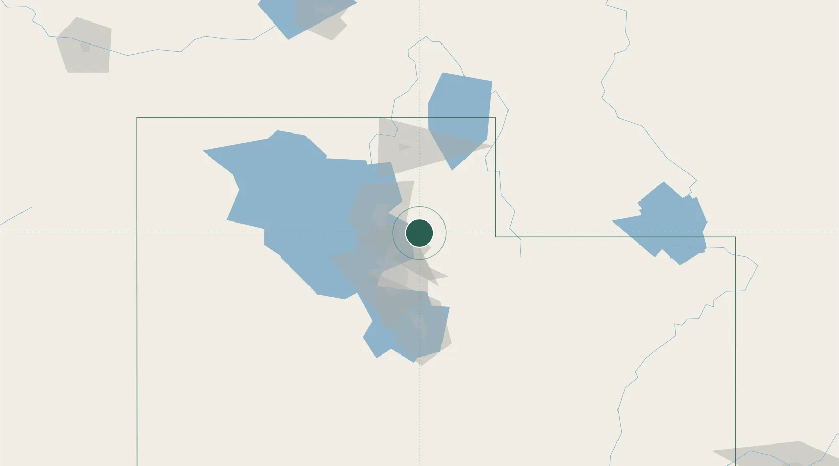
Nearby Logistics Neighbours

Cities
  1. 1Mountain Green5 km
  2. 2Centerville20 km
  3. 3Kaysville21 km
  4. 4Henefer22 km
  5. 5Layton24 km
Nearest neighbours — logibook spatial index (haversine) over the source coordinates
Ports
  1. 1Sacramento881 km
  2. 2Stockton893 km
  3. 3Courtland897 km
  4. 4Walnut Grove897 km
  5. 5Isleton907 km
Nearest neighbours — logibook spatial index (haversine) over the source coordinates
Airports
  1. 1Hill Air Force Base26 km
  2. 2Ogden Hinckley Airport33 km
  3. 3Salt Lake City International Airport37 km
  4. 4South Valley Regional Airport53 km
  5. 5Evanston-Uinta County Airport-Burns Field61 km
Nearest neighbours — logibook spatial index (haversine) over the source coordinates
Trade Zones
  1. 1FTZ No. 030 Salt Lake City39 km
  2. 2FTZ No. 280 Ada and Canyon Counties520 km
  3. 3FTZ No. 274 Butte-Silver Bow551 km
  4. 4FTZ No. 275 Lansing558 km
  5. 5FTZ No. 298 Jefferson County571 km
Nearest neighbours — logibook spatial index (haversine) over the source coordinates
DatabookThe Record of Consolidated Knowledge
United States beyond logistics?
Browse databook

All Sources

LocationsUN/LOCODE
UN/LOCODE — free
LocationsGeoNames
CC BY 4.0
Portsthe NGA World Port Index
Public domain (US gov)
AirportsOurAirports
Public domain
Trade Zonesthe World Bank SEZ database
CC BY 4.0
Trade ZonesOpen Zone Map
CC BY
← United States locations