UN/LOCODE hub · United States
USGP4
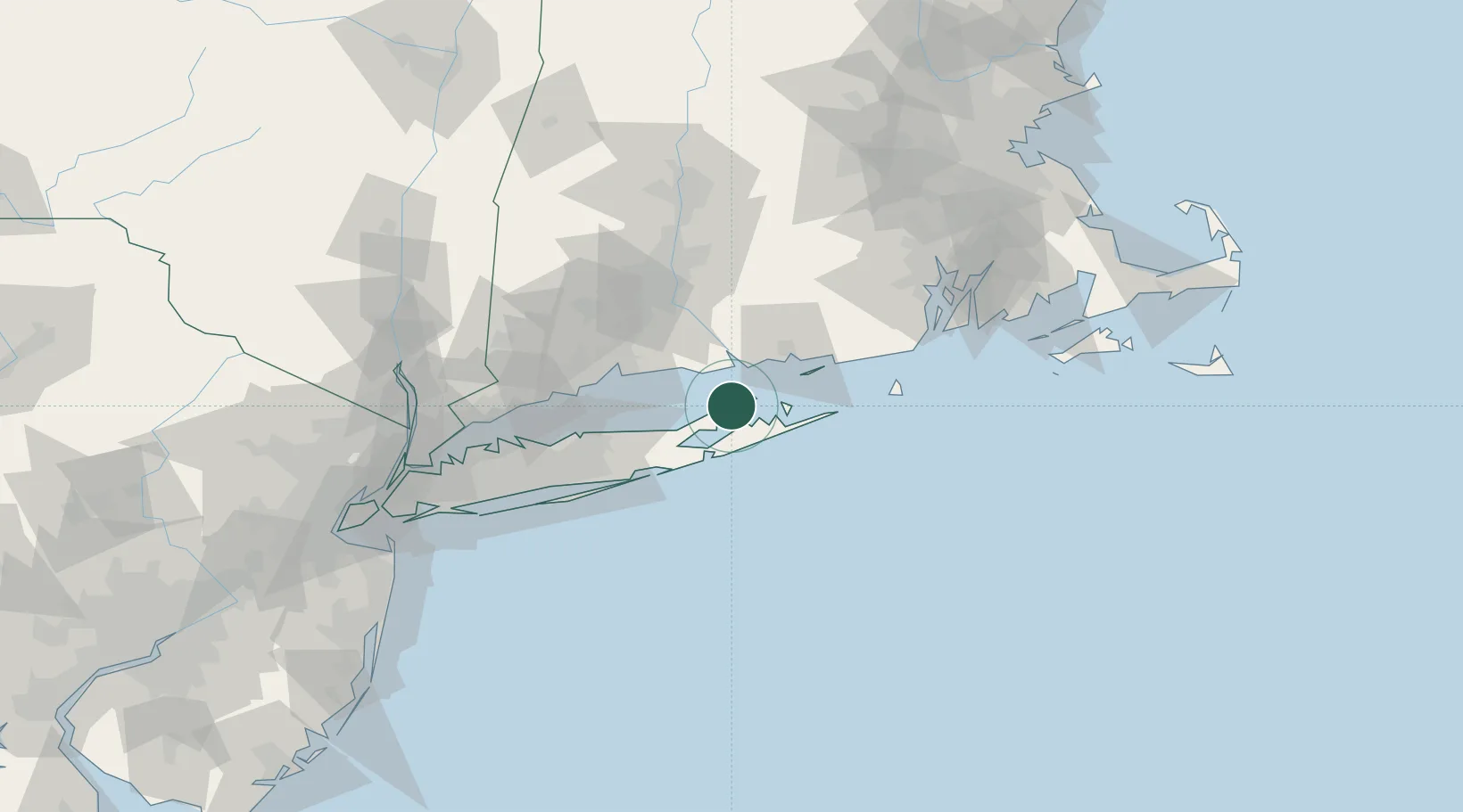
Greenport
41.1000°, -72.3667°
2,212
Population
3
Transport functions
Transport Functions
Port
Rail
Road
Hub Profile
Place type
Populated place
Region
New York
Population
2,212
Time zone
America/New_York
Elevation
3 m
Location
Nearby Logistics Neighbours
Cities
- 1Shelter Island5 km
- 2Southold7 km
- 3Peconic10 km
- 4Sag Harbor11 km
- 5North Haven12 km
Ports
- 1Essex28 km
- 2Montauk Harbor37 km
- 3New London37 km
- 4Noank40 km
- 5Mystic44 km
Airports
- 1Groton New London Airport37 km
- 2Montauk Airport38 km
- 3Tweed New Haven Airport47 km
- 4Westerly State Airport55 km
- 5Igor I Sikorsky Memorial Airport64 km
Trade Zones
- 1FTZ No. 208 New London36 km
- 2FTZ No. 162 New Haven52 km
- 3FTZ No. 076 Bridgeport70 km
- 4FTZ No. 052 Suffolk County73 km
- 5FTZ No. 071 Windsor Locks95 km
DatabookThe Record of Consolidated Knowledge
United States beyond logistics?