UN/LOCODE hub · United States
USHNP

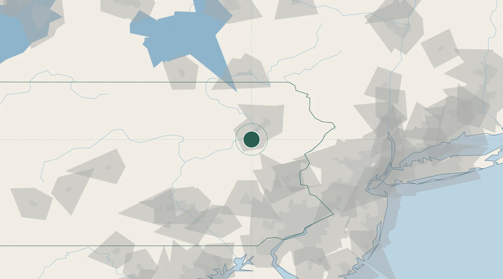
Hanover Township, Luzerne

41.2000°, -75.8667°
2
Transport functions

Transport Functions

Rail
Road
UN/LOCODE

Hub Profile

Region
PA
GeoNames

Location

Location of USHNP
Natural Earth 10m (public domain) · PA · USHNP · 41.20, -75.87GoogleOSMYandex

Nearby Logistics Neighbours

Cities
  1. 1Ashley3 km
  2. 2Wilkes-Barre4 km
  3. 3Nanticoke11 km
  4. 4West Pittston15 km
  5. 5Dupont16 km
Nearest neighbours — logibook spatial index (haversine) over the source coordinates
Ports
  1. 1Trenton145 km
  2. 2Bristol149 km
  3. 3Burlington150 km
  4. 4Sayreville150 km
  5. 5Philadelphia152 km
Nearest neighbours — logibook spatial index (haversine) over the source coordinates
Trade Zones
  1. 1FTZ No. 024 Pittston15 km
  2. 2FTZ No. 272 Counties of Lehigh and Northampton57 km
  3. 3FTZ No. 037 Orange County82 km
  4. 4FTZ No. 044 Morris County92 km
  5. 5FTZ No. 147 Berks County94 km
Nearest neighbours — logibook spatial index (haversine) over the source coordinates
DatabookThe Record of Consolidated Knowledge
United States beyond logistics?
Browse databook

All Sources

LocationsUN/LOCODE
UN/LOCODE — free
Portsthe NGA World Port Index
Public domain (US gov)
AirportsOurAirports
Public domain
Trade Zonesthe World Bank SEZ database
CC BY 4.0
Trade ZonesOpen Zone Map
CC BY
← United States locations