UN/LOCODE hub · United States
USEIW
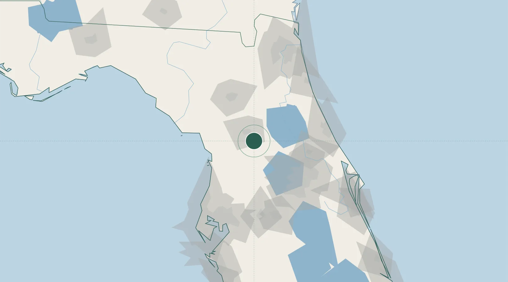
Belleview
29.0667°, -82.0500°
4,765
Population
3
Transport functions
Transport Functions
Rail
Road
Multimodal
Hub Profile
Place type
Populated place
Region
Florida
Population
4,765
Time zone
America/New_York
Elevation
25 m
Location
Nearby Logistics Neighbours
Cities
- 1Summerfield6 km
- 2Candler8 km
- 3Fruitland Park28 km
- 4Fort McCoy34 km
- 5Hernando37 km
Ports
- 1St Augustine117 km
- 2Tarpon Springs124 km
- 3Tampa134 km
- 4Jacksonville144 km
- 5Canaveral Harbor145 km
Airports
Trade Zones
- 1FTZ No. 198 Volusia County58 km
- 2FTZ No. 250 Seminole County76 km
- 3FTZ No. 042 Orlando84 km
- 4FTZ No. 136 Brevard County115 km
- 5FTZ No. 079 Tampa130 km
DatabookThe Record of Consolidated Knowledge
United States beyond logistics?