Transport Functions
Rail
Road
Multimodal
Hub Profile
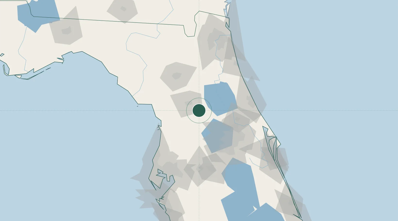
Place type
Populated place
Region
Florida
Time zone
America/New_York
Elevation
32 m
Location
Nearby Logistics Neighbours
Cities
- 1Belleview8 km
- 2Summerfield9 km
- 3Fruitland Park25 km
- 4Fort McCoy33 km
- 5Hawthorne37 km
Ports
- 1St Augustine112 km
- 2Tarpon Springs128 km
- 3Tampa136 km
- 4Canaveral Harbor138 km
- 5Jacksonville142 km
Airports
Trade Zones
- 1FTZ No. 198 Volusia County50 km
- 2FTZ No. 250 Seminole County69 km
- 3FTZ No. 042 Orlando79 km
- 4FTZ No. 136 Brevard County110 km
- 5FTZ No. 079 Tampa133 km
DatabookThe Record of Consolidated Knowledge
United States beyond logistics?