UN/LOCODE hub · United States
USMPI
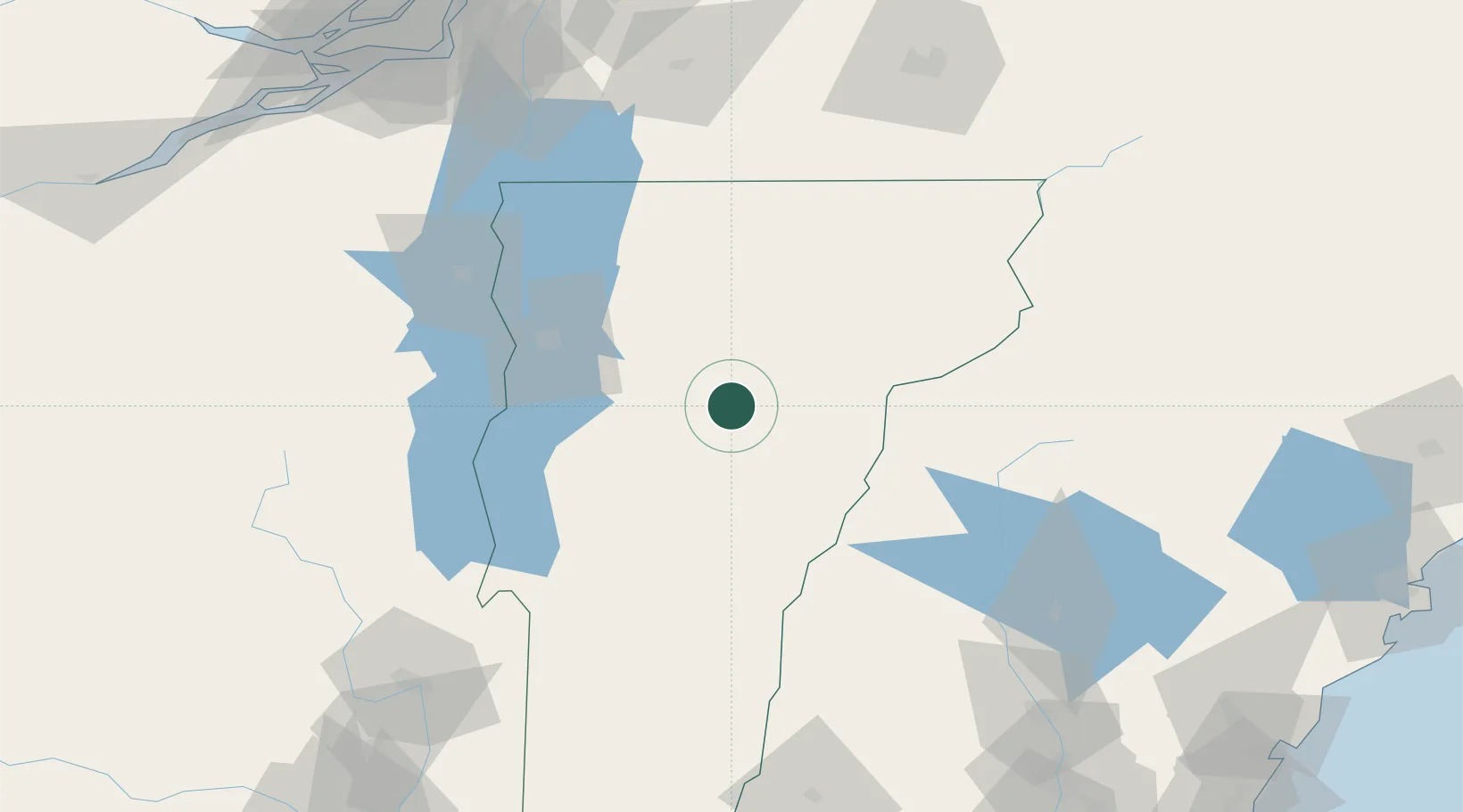
Montpelier
44.2500°, -72.5667°
8,074
Population
2
Transport functions
Transport Functions
Rail
Road
Hub Profile
Place type
Regional capital
Region
Vermont
Population
8,074
Time zone
America/New_York
Elevation
160 m
Location
Nearby Logistics Neighbours
Cities
- 1Berlin Corners6 km
- 2Barre9 km
- 3Northfield13 km
- 4Morrisville33 km
- 5Randolph36 km
Ports
- 1Beauharnois158 km
- 2Montreal161 km
- 3Coteau Landing170 km
- 4Vaudreuil172 km
- 5St Anicet173 km
Airports
Trade Zones
- 1FTZ No. 268 Brattleboro155 km
- 2Greater Montreal Free Zone Center160 km
- 3FTZ No. 263 Auburn189 km
- 4FTZ No. 081 Portsmouth192 km
- 5FTZ No. 121 Albany198 km
DatabookThe Record of Consolidated Knowledge
United States beyond logistics?