UN/LOCODE hub · United States
USSTA
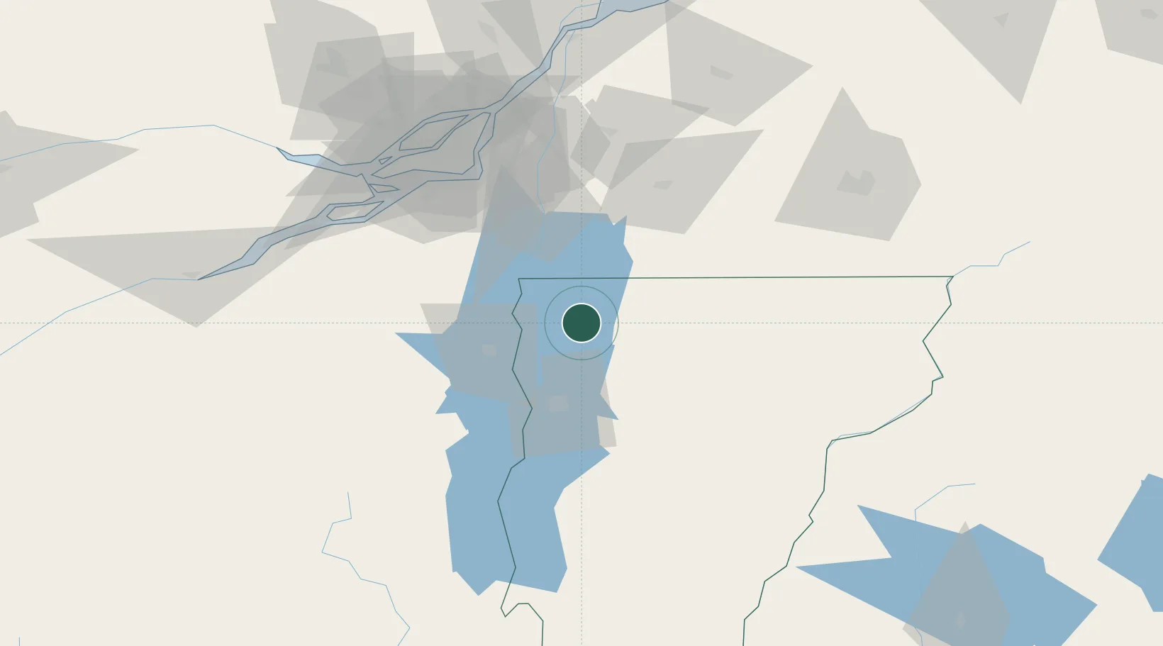
Saint Albans
44.8167°, -73.0833°
6,918
Population
2
Transport functions
Transport Functions
Rail
Road
Hub Profile
Place type
Provincial seat
Region
Vermont
Population
6,918
Time zone
America/New_York
Elevation
127 m
Location
Nearby Logistics Neighbours
Cities
- 1East Alburg20 km
- 2Milton21 km
- 3Saint-Armand23 km
- 4Philipsburg24 km
- 5Saint-Paul-de-l'Île-aux-Noix31 km
Ports
- 1Beauharnois84 km
- 2Montreal86 km
- 3Vaudreuil99 km
- 4Coteau Landing100 km
- 5St Zotique104 km
Airports
Trade Zones
- 1Greater Montreal Free Zone Center86 km
- 2FTZ No. 118 Ogdensburg192 km
- 3FTZ No. 268 Brattleboro221 km
- 4FTZ No. 121 Albany241 km
- 5FTZ No. 109 Watertown242 km
DatabookThe Record of Consolidated Knowledge
United States beyond logistics?