Transport Functions
Port
Rail
Road
Hub Profile
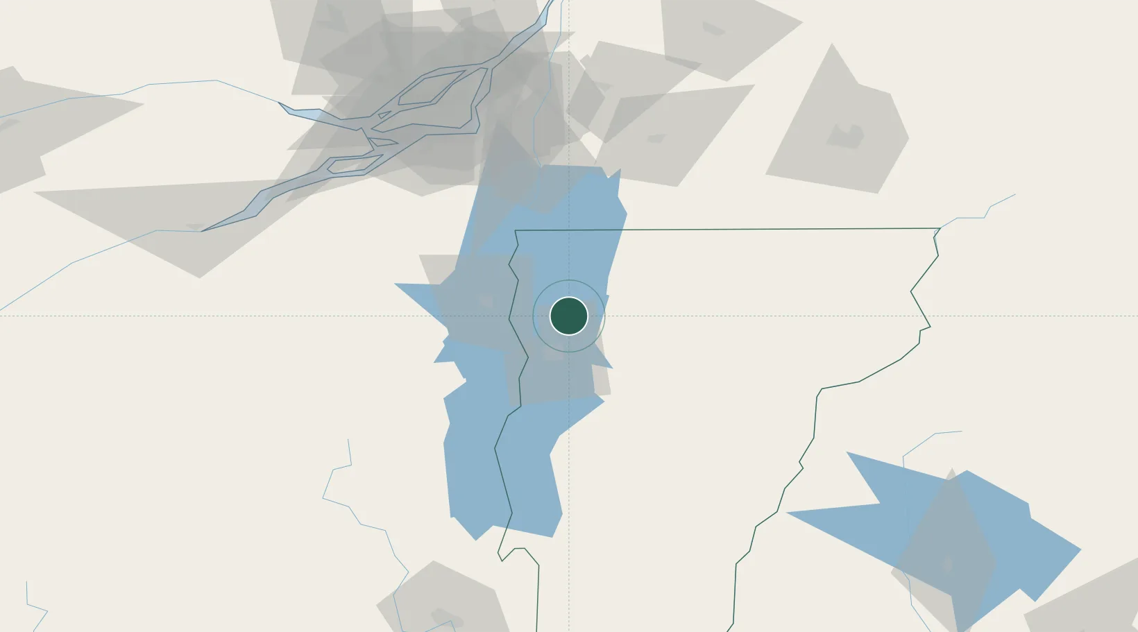
Place type
Populated place
Region
Vermont
Population
1,861
Time zone
America/New_York
Elevation
91 m
Location
Nearby Logistics Neighbours
Cities
- 1Winooski18 km
- 2Saint Albans21 km
- 3Stain George30 km
- 4East Alburg38 km
- 5Saint-Armand43 km
Ports
- 1Beauharnois97 km
- 2Montreal104 km
- 3Coteau Landing109 km
- 4Vaudreuil112 km
- 5St Zotique113 km
Airports
Trade Zones
- 1Greater Montreal Free Zone Center103 km
- 2FTZ No. 118 Ogdensburg190 km
- 3FTZ No. 268 Brattleboro201 km
- 4FTZ No. 121 Albany221 km
- 5FTZ No. 109 Watertown233 km
DatabookThe Record of Consolidated Knowledge
United States beyond logistics?