UN/LOCODE hub · United States
USEBB
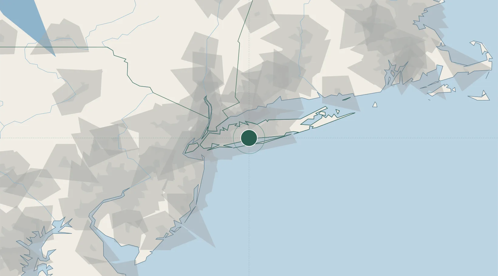
West Babylon
40.7167°, -73.3500°
43,213
Population
2
Transport functions
Transport Functions
Rail
Road
Hub Profile
Place type
Populated place
Region
New York
Population
43,213
Time zone
America/New_York
Elevation
12 m
Location
Nearby Logistics Neighbours
Cities
- 1North Bay Shore7 km
- 2Edgewood, Suffolk11 km
- 3Massapequa12 km
- 4Wantagh15 km
- 5Woodbury, Nassau15 km
Ports
- 1Patchogue28 km
- 2Port Jefferson34 km
- 3Stamford39 km
- 4City Island39 km
- 5Greenwich40 km
Airports
Trade Zones
DatabookThe Record of Consolidated Knowledge
United States beyond logistics?