UN/LOCODE hub · United States
USTWH
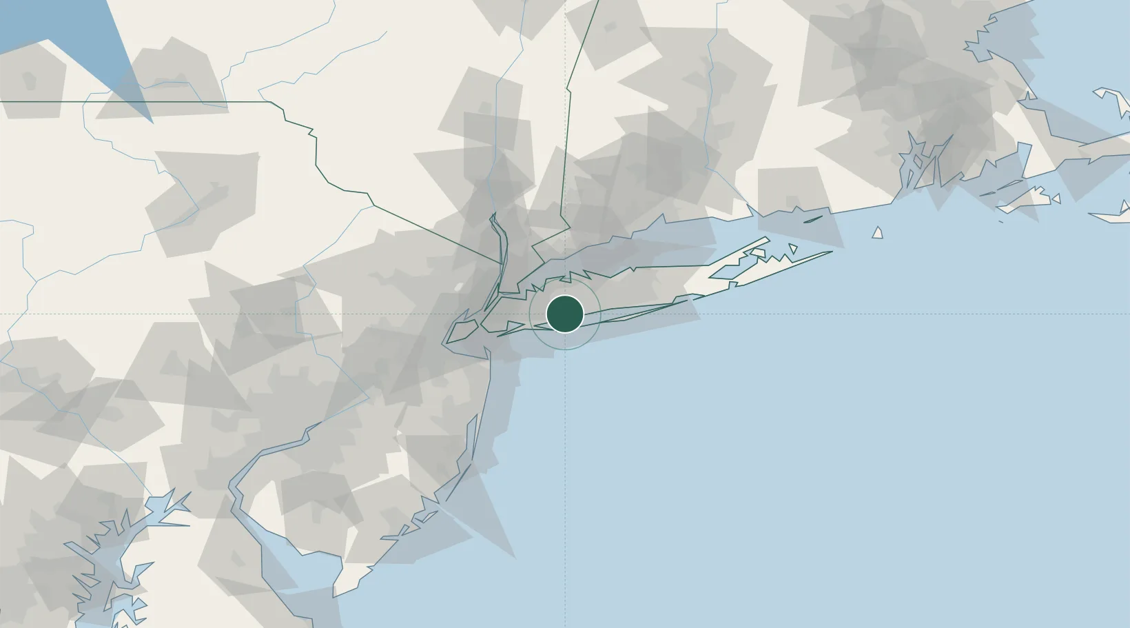
Wantagh
40.6833°, -73.5167°
18,871
Population
2
Transport functions
Transport Functions
Rail
Road
Hub Profile
Place type
Populated place
Region
New York
Population
18,871
Time zone
America/New_York
Elevation
7 m
Location
Nearby Logistics Neighbours
Cities
- 1Massapequa3 km
- 2Uniondale8 km
- 3West Hempstead11 km
- 4Rockville Centre12 km
- 5Old Westbury13 km
Ports
- 1City Island29 km
- 2Port Chester37 km
- 3Greenwich38 km
- 4Stamford39 km
- 5Edgewater42 km
Airports
Trade Zones
DatabookThe Record of Consolidated Knowledge
United States beyond logistics?