Channel & Berth Profile
Pilotage, Tugs & Services
Pilotage compulsoryYES
Tug assistanceYES
Potable waterYES
Diesel bunkersYES
MedicalYES
Facilities & Capabilities
Container—
Ro-Ro—
Liquid bulk—
Dry bulk—
Oil terminal—
Break bulk—
Dry dock—
RepairsNO
Bunkering—
Rail linkYES
Dangerous cargo—
ISPS security—
Harbour Specifications
Harbour size
Very Small
Harbour type
River (Natural)
Shelter
Good
Water body
North Atlantic Ocean
Tidal range
0.3 m
Overhead limit
Yes
Pilotage
Yes
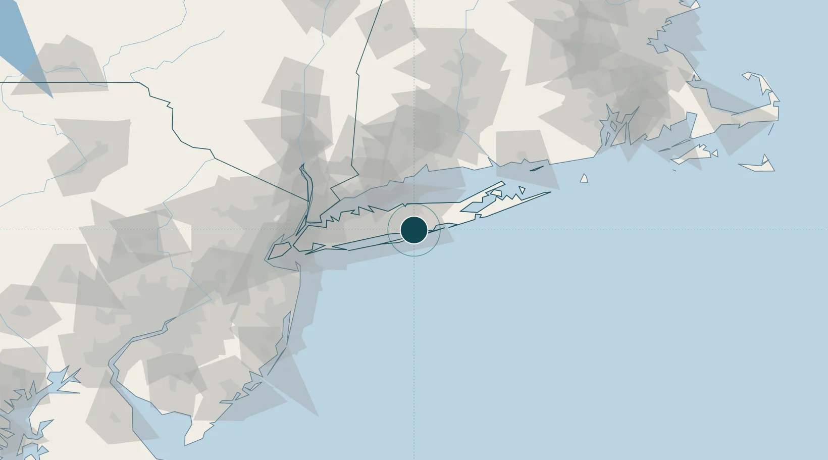
Location
Nearby Logistics Neighbours
Ports
- 1Port Jefferson23 km
- 2Southport48 km
- 3Bridgeport48 km
- 4Norwalk51 km
- 5New Haven54 km
Cities
- 1Holbrook7 km
- 2Bellport7 km
- 3West Sayville7 km
- 4Farmingville7 km
- 5West Sayville9 km
Airports
Trade Zones
DatabookThe Record of Consolidated Knowledge
United States beyond logistics?