UN/LOCODE hub · United States
USWDU

Woodbury, Nassau

40.8167°, -73.4667°
3
Transport functions

Transport Functions

Rail
Road
Multimodal
UN/LOCODE

Hub Profile

Region
NY
GeoNames

Location

Location of USWDU
Natural Earth 10m (public domain) · NY · USWDU · 40.82, -73.47GoogleOSMYandex

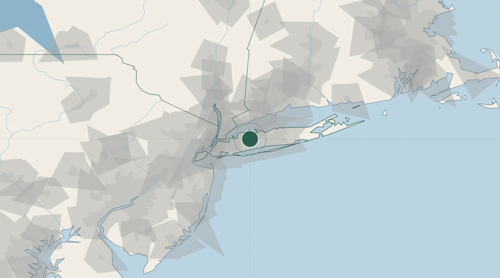
Nearby Logistics Neighbours

Cities
  1. 1Huntington Station6 km
  2. 2Cold Spring Harbor6 km
  3. 3Upper Brookville7 km
  4. 4Old Brookville11 km
  5. 5Old Westbury12 km
Nearest neighbours — logibook spatial index (haversine) over the source coordinates
Ports
  1. 1Stamford25 km
  2. 2Greenwich26 km
  3. 3Port Chester26 km
  4. 4City Island27 km
  5. 5Norwalk32 km
Nearest neighbours — logibook spatial index (haversine) over the source coordinates
Airports
  1. 1Republic Airport11 km
  2. 2Long Island MacArthur Airport31 km
  3. 3John F. Kennedy International Airport33 km
  4. 4Westchester County Airport34 km
  5. 5LaGuardia Airport35 km
Nearest neighbours — logibook spatial index (haversine) over the source coordinates
Trade Zones
  1. 1FTZ No. 052 Suffolk County25 km
  2. 2FTZ No. 076 Bridgeport46 km
  3. 3FTZ No. 001 New York City47 km
  4. 4FTZ No. 049 Newark Elizabeth62 km
  5. 5FTZ No. 162 New Haven71 km
Nearest neighbours — logibook spatial index (haversine) over the source coordinates
DatabookThe Record of Consolidated Knowledge
United States beyond logistics?
Browse databook

All Sources

LocationsUN/LOCODE
UN/LOCODE — free
Portsthe NGA World Port Index
Public domain (US gov)
AirportsOurAirports
Public domain
Trade Zonesthe World Bank SEZ database
CC BY 4.0
Trade ZonesOpen Zone Map
CC BY
← United States locations