UN/LOCODE hub · United States
USEW5

Edgewood, Suffolk

40.7833°, -73.2500°
2
Transport functions

Transport Functions

Road
Multimodal
UN/LOCODE

Hub Profile

Region
NY
GeoNames

Location

Location of USEW5
Natural Earth 10m (public domain) · NY · USEW5 · 40.78, -73.25GoogleOSMYandex

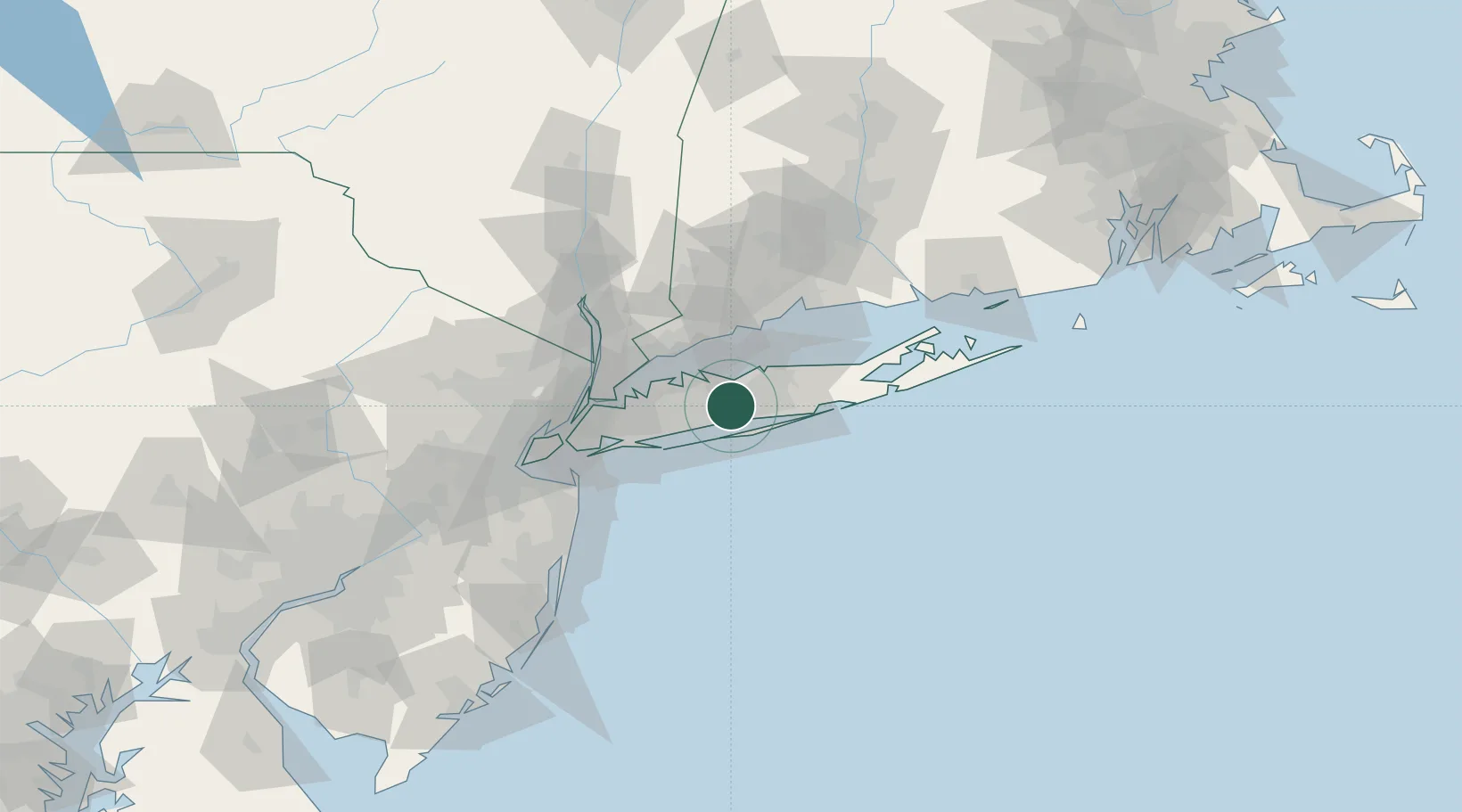
Nearby Logistics Neighbours

Cities
  1. 1North Bay Shore6 km
  2. 2Islandia6 km
  3. 3East Northport11 km
  4. 4Kings Park11 km
  5. 5West Babylon11 km
Nearest neighbours — logibook spatial index (haversine) over the source coordinates
Ports
  1. 1Patchogue20 km
  2. 2Port Jefferson23 km
  3. 3Stamford38 km
  4. 4Norwalk38 km
  5. 5Southport39 km
Nearest neighbours — logibook spatial index (haversine) over the source coordinates
Airports
  1. 1Long Island MacArthur Airport13 km
  2. 2Republic Airport15 km
  3. 3Igor I Sikorsky Memorial Airport44 km
  4. 4John F. Kennedy International Airport47 km
  5. 5Westchester County Airport50 km
Nearest neighbours — logibook spatial index (haversine) over the source coordinates
Trade Zones
  1. 1FTZ No. 052 Suffolk County16 km
  2. 2FTZ No. 076 Bridgeport44 km
  3. 3FTZ No. 162 New Haven64 km
  4. 4FTZ No. 001 New York City65 km
  5. 5FTZ No. 049 Newark Elizabeth79 km
Nearest neighbours — logibook spatial index (haversine) over the source coordinates
DatabookThe Record of Consolidated Knowledge
United States beyond logistics?
Browse databook

All Sources

LocationsUN/LOCODE
UN/LOCODE — free
Portsthe NGA World Port Index
Public domain (US gov)
AirportsOurAirports
Public domain
Trade Zonesthe World Bank SEZ database
CC BY 4.0
Trade ZonesOpen Zone Map
CC BY
← United States locations