Transport Functions
Multimodal
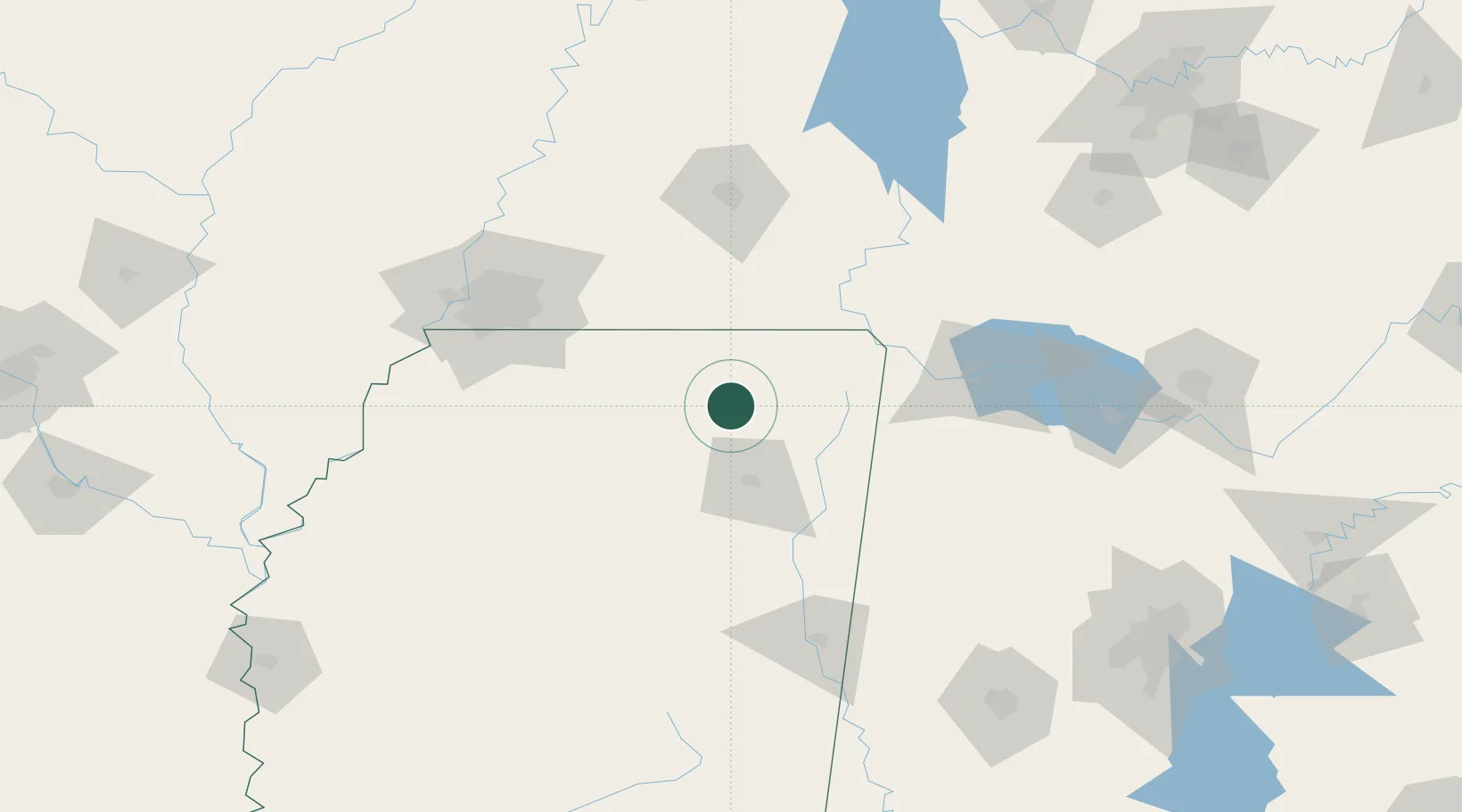
Hub Profile
Place type
Populated place
Region
Mississippi
Population
466
Time zone
America/Chicago
Elevation
190 m
Location
Nearby Logistics Neighbours
Cities
- 1Hickory Flat, Benton32 km
- 2Belden37 km
- 3Centerville40 km
- 4Furrs45 km
- 5Pocahontas46 km
Ports
- 1Port Of Memphis131 km
- 2Mobile444 km
- 3Biloxi473 km
- 4Gulfport477 km
- 5Pascagoula477 km
Airports
Trade Zones
- 1FTZ No. 262 Southaven115 km
- 2FTZ No. 223 Memphis129 km
- 3FTZ No. 273 West Memphis136 km
- 4FTZ No. 077 Memphis141 km
- 5FTZ No. 283 West Tennessee146 km
DatabookThe Record of Consolidated Knowledge
United States beyond logistics?