Transport Functions
Rail
Road
Multimodal
Hub Profile
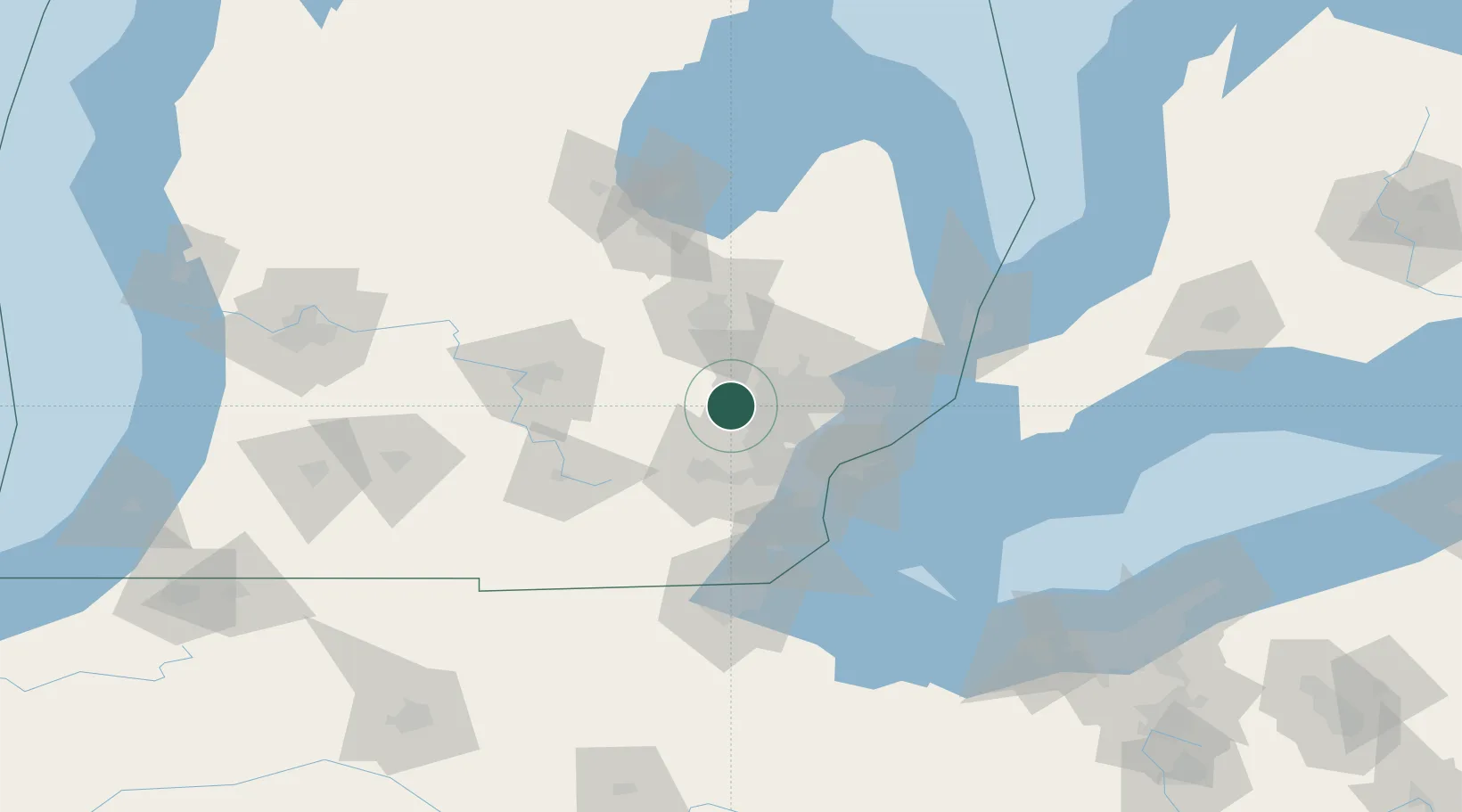
Place type
Populated place
Region
Michigan
Population
6,472
Time zone
America/Detroit
Elevation
294 m
Location
Nearby Logistics Neighbours
Cities
- 1Highland6 km
- 2New Hudson9 km
- 3Commerce Township10 km
- 4White Lake12 km
- 5Davisburg19 km
Ports
- 1Detroit54 km
- 2Windsor55 km
- 3Wyandotte56 km
- 4Trenton61 km
- 5Amherstburg68 km
Airports
Trade Zones
DatabookThe Record of Consolidated Knowledge
United States beyond logistics?