Transport Functions
Road
Multimodal
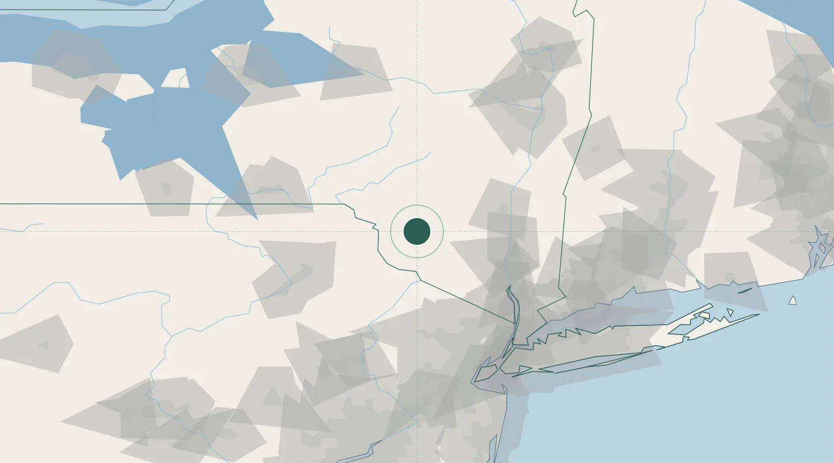
Hub Profile
Place type
Populated place
Region
New York
Time zone
America/New_York
Elevation
410 m
Location
Nearby Logistics Neighbours
Cities
- 1Jeffersonville17 km
- 2Lake Huntington23 km
- 3Rockland23 km
- 4Callicoon26 km
- 5Wurtsboro30 km
Ports
- 1Poughkeepsie65 km
- 2Kingston66 km
- 3Newburgh68 km
- 4Catskill89 km
- 5Yonkers116 km
Airports
Trade Zones
- 1FTZ No. 037 Orange County45 km
- 2FTZ No. 044 Morris County101 km
- 3FTZ No. 024 Pittston102 km
- 4FTZ No. 049 Newark Elizabeth129 km
- 5FTZ No. 121 Albany130 km
DatabookThe Record of Consolidated Knowledge
United States beyond logistics?