UN/LOCODE hub · United States
USBOC

Brooklyn

41.7833°, -71.9500°
981
Population
2
Transport functions

Transport Functions

Port
Road
UN/LOCODE

Hub Profile

Place type
Populated place
GeoNames
Region
Connecticut
GeoNames
Population
981
GeoNames
Time zone
America/New_York
GeoNames
Elevation
84 m
GeoNames

Location

Location of USBOC
Natural Earth 10m (public domain) · Connecticut · USBOC · 41.78, -71.95GoogleOSMYandex

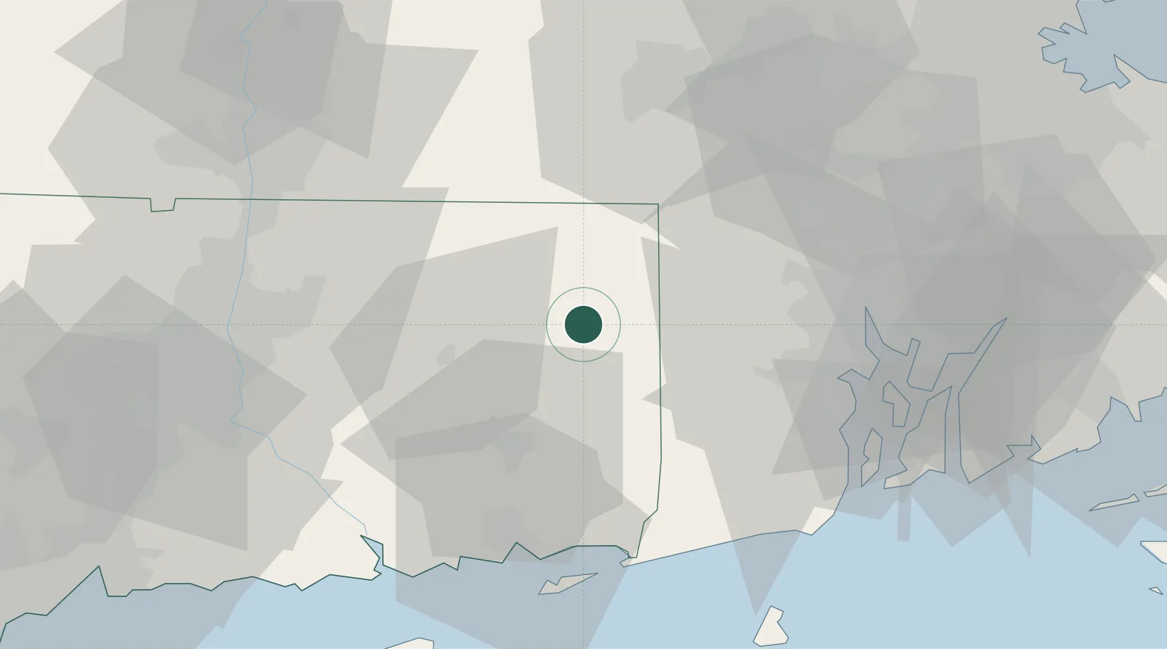
Nearby Logistics Neighbours

Cities
  1. 1Rogers7 km
  2. 2Wauregan7 km
  3. 3Putnam Heights10 km
  4. 4Pomfret Center11 km
  5. 5Moosup12 km
Nearest neighbours — logibook spatial index (haversine) over the source coordinates
Ports
  1. 1Norwich32 km
  2. 2Providence46 km
  3. 3Mystic48 km
  4. 4Davisville Depot49 km
  5. 5New London49 km
Nearest neighbours — logibook spatial index (haversine) over the source coordinates
Airports
  1. 1Rhode Island T. F. Green International Airport44 km
  2. 2Quonset State Airport49 km
  3. 3Westerly State Airport50 km
  4. 4Groton New London Airport51 km
  5. 5Worcester Regional Airport54 km
Nearest neighbours — logibook spatial index (haversine) over the source coordinates
Trade Zones
  1. 1FTZ No. 105 Providence and North Kingstown41 km
  2. 2FTZ No. 208 New London49 km
  3. 3FTZ No. 071 Windsor Locks59 km
  4. 4FTZ No. 201 Holyoke80 km
  5. 5FTZ No. 028 New Bedford80 km
Nearest neighbours — logibook spatial index (haversine) over the source coordinates
DatabookThe Record of Consolidated Knowledge
United States beyond logistics?
Browse databook

All Sources

LocationsUN/LOCODE
UN/LOCODE — free
LocationsGeoNames
CC BY 4.0
Portsthe NGA World Port Index
Public domain (US gov)
AirportsOurAirports
Public domain
Trade Zonesthe World Bank SEZ database
CC BY 4.0
Trade ZonesOpen Zone Map
CC BY
← United States locations