Transport Functions
Road
Multimodal
Hub Profile
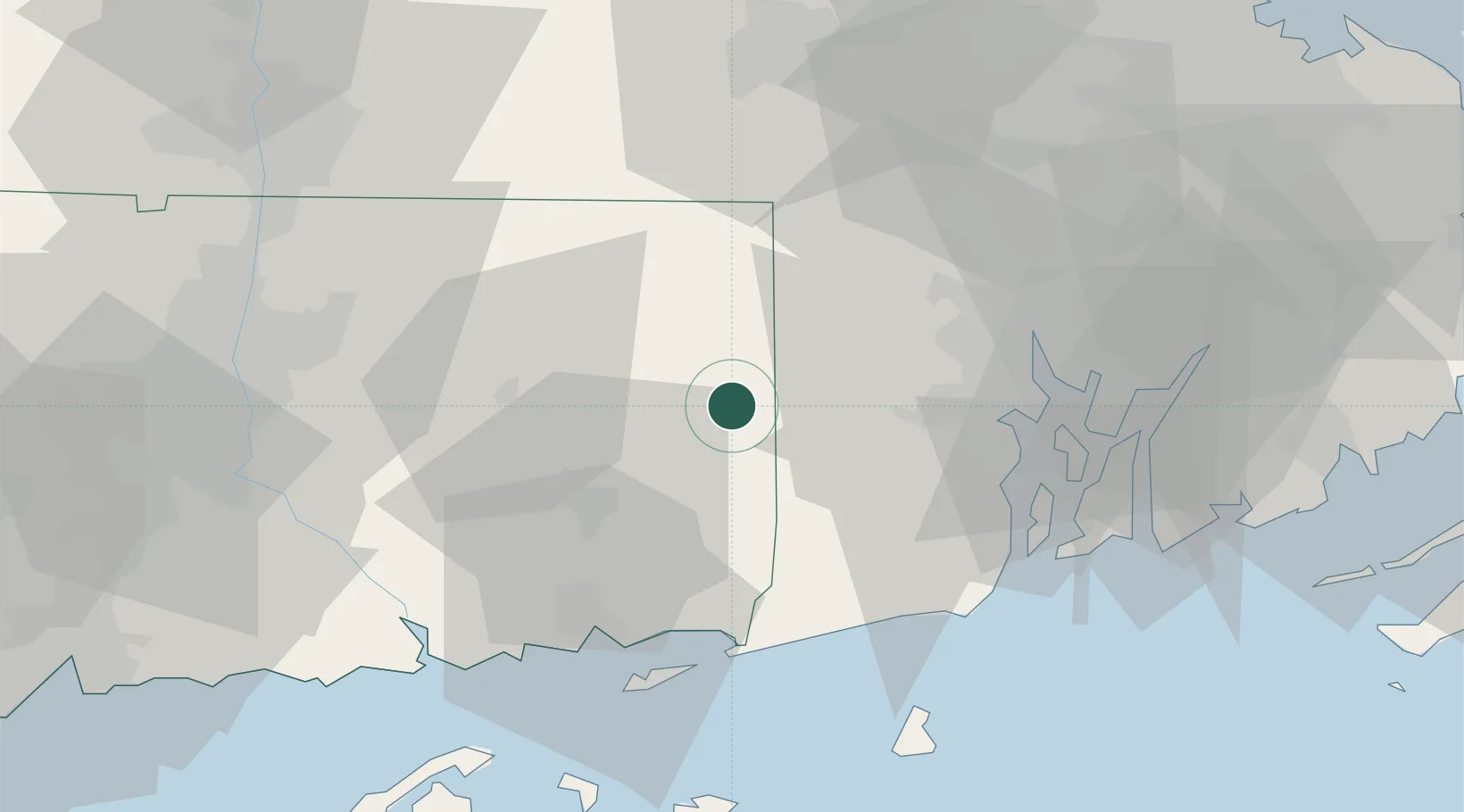
Place type
Populated place
Region
Connecticut
Population
3,231
Time zone
America/New_York
Elevation
72 m
Location
Nearby Logistics Neighbours
Ports
- 1Norwich27 km
- 2Mystic40 km
- 3Davisville Depot40 km
- 4Providence40 km
- 5Stonington41 km
Airports
Trade Zones
DatabookThe Record of Consolidated Knowledge
United States beyond logistics?