UN/LOCODE hub · United States
USQWR
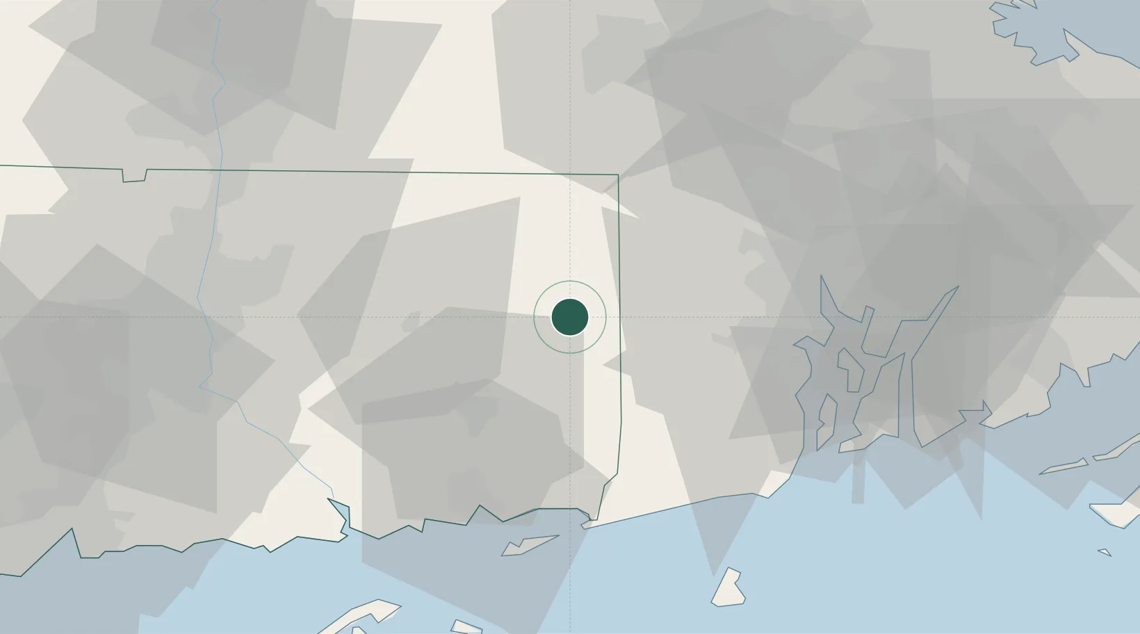
Wauregan
41.7333°, -71.9000°
1,205
Population
3
Transport functions
Transport Functions
Rail
Road
Multimodal
Hub Profile
Place type
Populated place
Region
Connecticut
Population
1,205
Time zone
America/New_York
Elevation
59 m
Location
Nearby Logistics Neighbours
Cities
- 1Moosup5 km
- 2Brooklyn7 km
- 3Rogers11 km
- 4Putnam Heights15 km
- 5Griswold17 km
Ports
- 1Norwich29 km
- 2Providence42 km
- 3Mystic43 km
- 4Davisville Depot44 km
- 5Stonington45 km
Airports
Trade Zones
DatabookThe Record of Consolidated Knowledge
United States beyond logistics?