Transport Functions
Multimodal
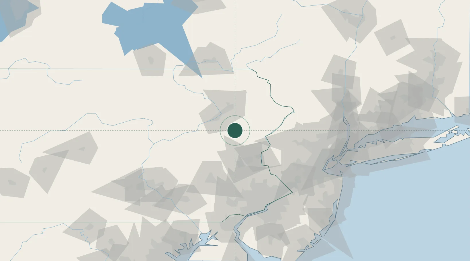
Hub Profile
Place type
Populated place
Region
Pennsylvania
Time zone
America/New_York
Elevation
510 m
Location
Nearby Logistics Neighbours
Cities
- 1Clifton15 km
- 2Effort21 km
- 3Lehigh23 km
- 4Freeland27 km
- 5Hanover Township, Luzerne27 km
Ports
- 1Trenton120 km
- 2Sayreville123 km
- 3Bristol126 km
- 4Burlington127 km
- 5Bayway127 km
Airports
Trade Zones
DatabookThe Record of Consolidated Knowledge
United States beyond logistics?