Transport Functions
Rail
Road
Multimodal
Hub Profile
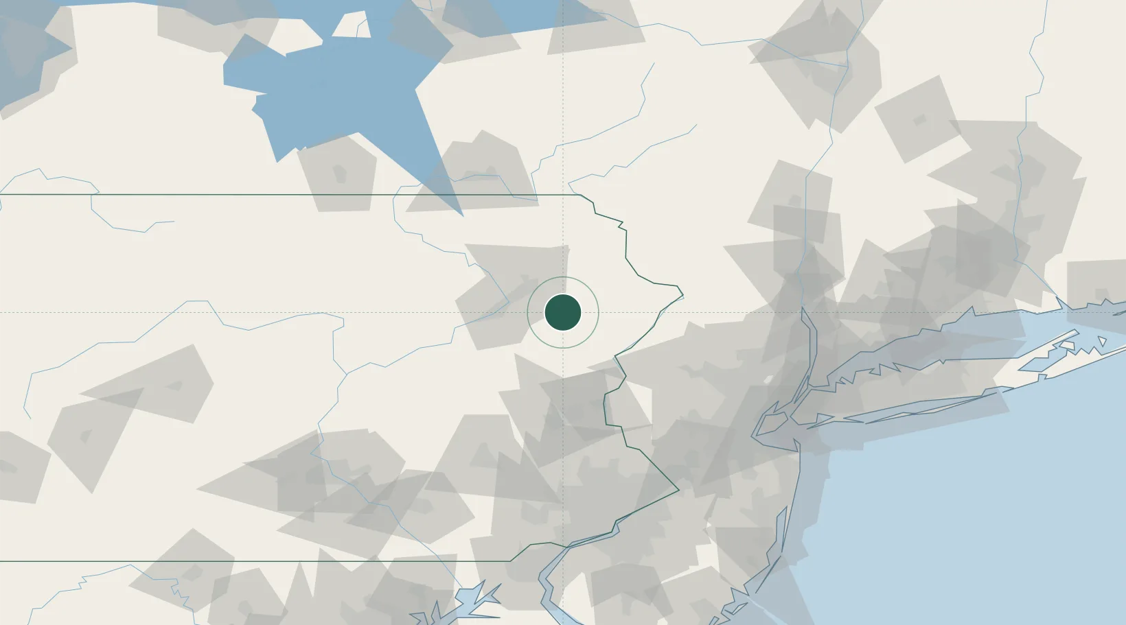
Place type
Populated place
Region
Pennsylvania
Time zone
America/New_York
Elevation
574 m
Location
Nearby Logistics Neighbours
Ports
- 1Newburgh124 km
- 2Newark126 km
- 3Bayway126 km
- 4Elizabethport127 km
- 5Sayreville127 km
Airports
Trade Zones
DatabookThe Record of Consolidated Knowledge
United States beyond logistics?