Transport Functions
Rail
Road
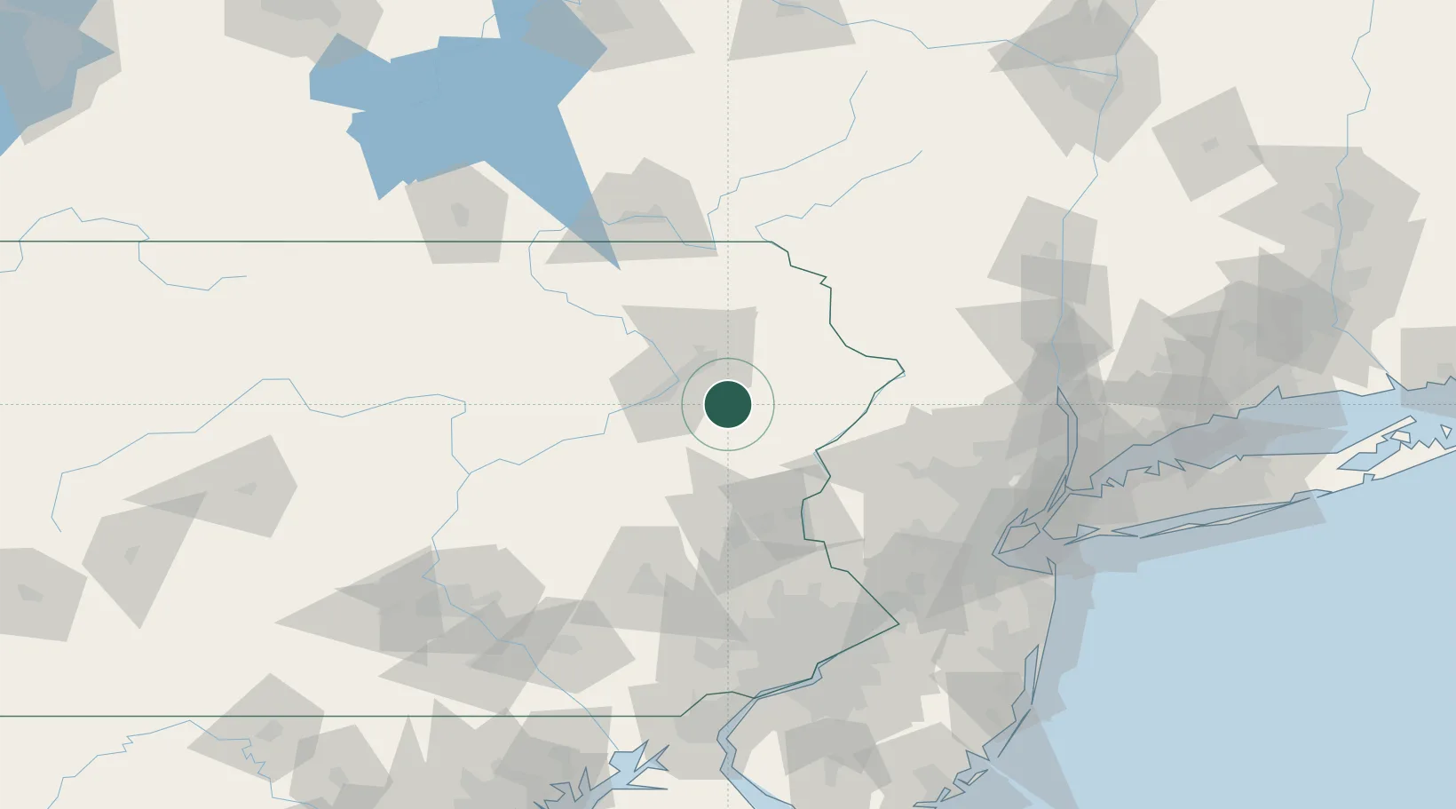
Hub Profile
Place type
Populated place
Region
Pennsylvania
Time zone
America/New_York
Elevation
496 m
Location
Nearby Logistics Neighbours
Cities
- 1Lehigh10 km
- 2Moscow13 km
- 3Blakeslee15 km
- 4Dupont20 km
- 5West Pittston22 km
Ports
- 1Sayreville130 km
- 2Bayway131 km
- 3Newark131 km
- 4Trenton131 km
- 5Elizabethport131 km
Airports
Trade Zones
DatabookThe Record of Consolidated Knowledge
United States beyond logistics?