Transport Functions
Road
Multimodal
Hub Profile
Place type
Populated place
Region
Pennsylvania
Population
2,269
Time zone
America/New_York
Elevation
237 m
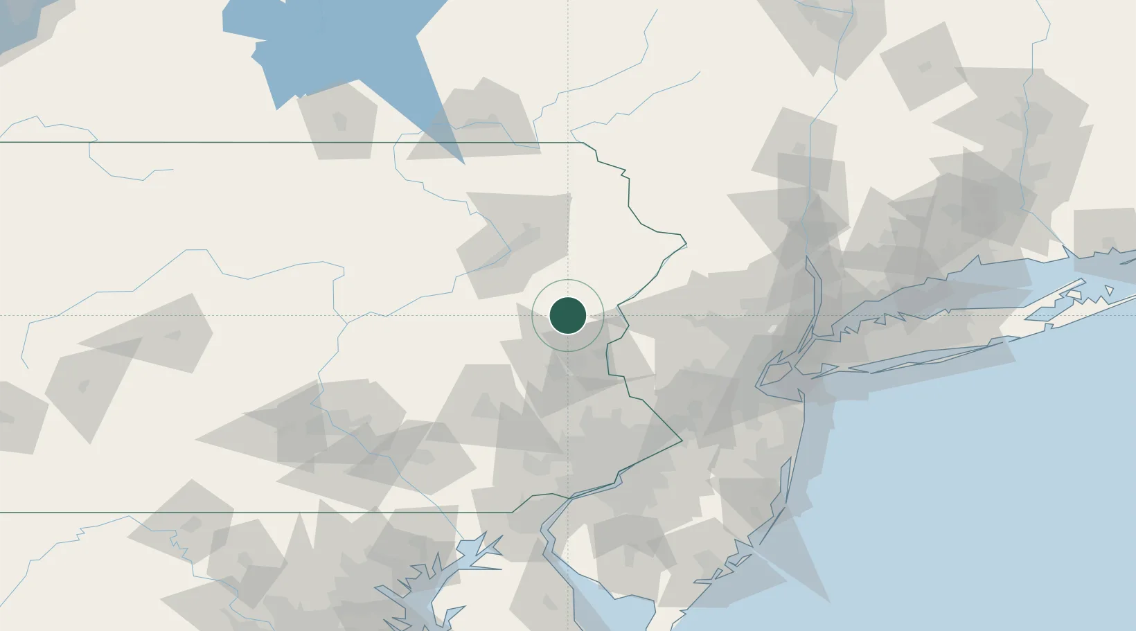
Location
Nearby Logistics Neighbours
Cities
- 1Kunkletown11 km
- 2Jackson12 km
- 3Pen Argyl17 km
- 4Bangor20 km
- 5Blakeslee21 km
Ports
- 1Trenton99 km
- 2Sayreville104 km
- 3Bristol105 km
- 4Burlington106 km
- 5Sewaren108 km
Airports
Trade Zones
DatabookThe Record of Consolidated Knowledge
United States beyond logistics?