Transport Functions
Port
Hub Profile
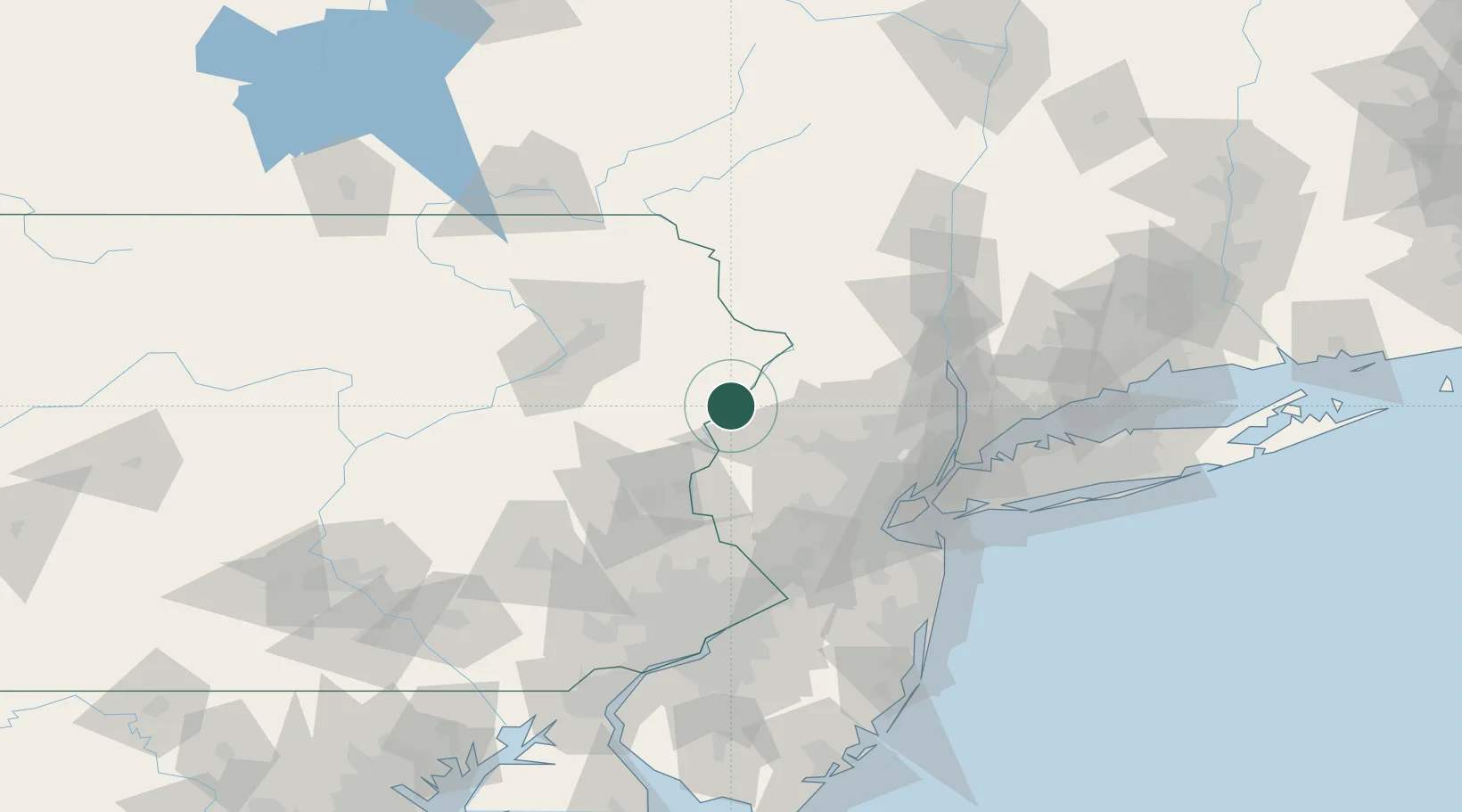
Place type
Populated place
Region
Pennsylvania
Time zone
America/New_York
Elevation
113 m
Location
Nearby Logistics Neighbours
Cities
- 1Johnsonburg19 km
- 2Columbia19 km
- 3Portland20 km
- 4Branchville22 km
- 5Mount Bethel22 km
Ports
- 1Newark83 km
- 2Bayway84 km
- 3Elizabethport84 km
- 4Carteret86 km
- 5Port Reading86 km
Airports
Trade Zones
DatabookThe Record of Consolidated Knowledge
United States beyond logistics?