Transport Functions
Road
Multimodal
Hub Profile
Place type
Populated place
Region
New Jersey
Time zone
America/New_York
Elevation
29 m
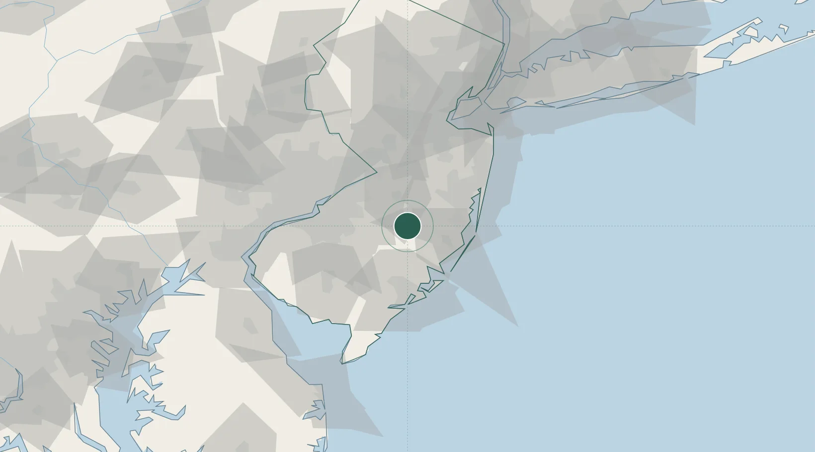
Location
Nearby Logistics Neighbours
Cities
- 1Southampton17 km
- 2Browns Mills17 km
- 3Indian Mills18 km
- 4New Gretna27 km
- 5Lumberton27 km
Ports
- 1Barnegat37 km
- 2Burlington41 km
- 3Bristol42 km
- 4Trenton47 km
- 5Atlantic City51 km
Airports
Trade Zones
- 1FTZ No. 235 Lakewood38 km
- 2FTZ No. 200 Mercer County58 km
- 3FTZ No. 035 Philadelphia65 km
- 4FTZ No. 142 Salem Millville69 km
- 5FTZ No. 099 Wilmington87 km
DatabookThe Record of Consolidated Knowledge
United States beyond logistics?