Transport Functions
Multimodal
Hub Profile
Place type
Populated place
Region
Pennsylvania
Time zone
America/New_York
Elevation
78 m
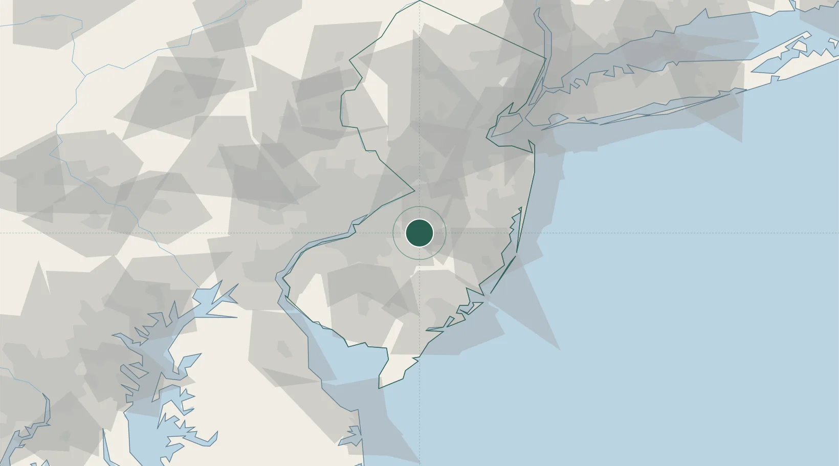
Location
Nearby Logistics Neighbours
Cities
- 1Lumberton10 km
- 2Clermont11 km
- 3Browns Mills12 km
- 4Indian Mills13 km
- 5Jobstown15 km
Ports
- 1Burlington25 km
- 2Bristol26 km
- 3Trenton34 km
- 4Gloucester37 km
- 5Philadelphia37 km
Airports
Trade Zones
- 1FTZ No. 235 Lakewood44 km
- 2FTZ No. 200 Mercer County44 km
- 3FTZ No. 035 Philadelphia49 km
- 4FTZ No. 142 Salem Millville67 km
- 5FTZ No. 099 Wilmington74 km
DatabookThe Record of Consolidated Knowledge
United States beyond logistics?