Transport Functions
Port
Multimodal
Hub Profile
Place type
Populated place
Region
New Jersey
Time zone
America/New_York
Elevation
22 m
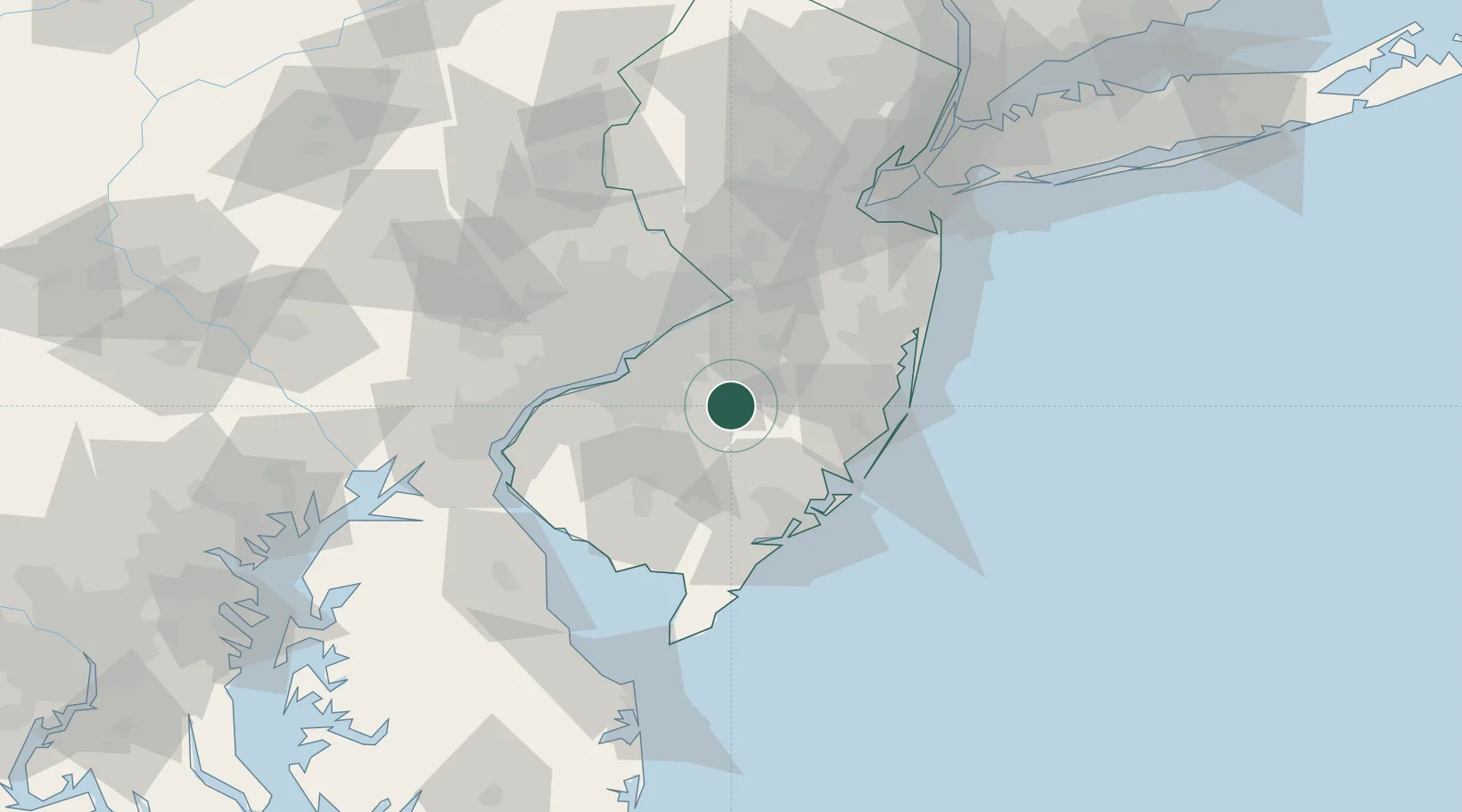
Location
Nearby Logistics Neighbours
Cities
- 1Southampton13 km
- 2Pennsauken15 km
- 3Blue Anchor17 km
- 4Chatsworth18 km
- 5Lumberton19 km
Ports
- 1Burlington35 km
- 2Gloucester37 km
- 3Bristol37 km
- 4Philadelphia39 km
- 5Camden39 km
Airports
Trade Zones
- 1FTZ No. 035 Philadelphia51 km
- 2FTZ No. 235 Lakewood53 km
- 3FTZ No. 142 Salem Millville55 km
- 4FTZ No. 200 Mercer County56 km
- 5FTZ No. 099 Wilmington70 km
DatabookThe Record of Consolidated Knowledge
United States beyond logistics?