UN/LOCODE hub · United States
USQXY
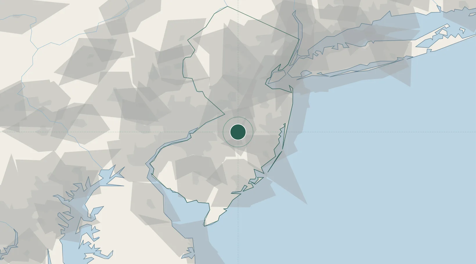
Browns Mills
39.9667°, -74.5833°
11,223
Population
2
Transport functions
Transport Functions
Port
Road
Hub Profile
Place type
Populated place
Region
New Jersey
Population
11,223
Time zone
America/New_York
Elevation
27 m
Location
Nearby Logistics Neighbours
Cities
- 1Jacobstown11 km
- 2Jobstown11 km
- 3Southampton12 km
- 4Clermont16 km
- 5Columbus16 km
Ports
- 1Bristol27 km
- 2Burlington27 km
- 3Trenton30 km
- 4Barnegat47 km
- 5Philadelphia47 km
Airports
Trade Zones
- 1FTZ No. 235 Lakewood32 km
- 2FTZ No. 200 Mercer County42 km
- 3FTZ No. 035 Philadelphia58 km
- 4FTZ No. 142 Salem Millville79 km
- 5FTZ No. 099 Wilmington86 km
DatabookThe Record of Consolidated Knowledge
United States beyond logistics?