Transport Functions
Rail
Multimodal
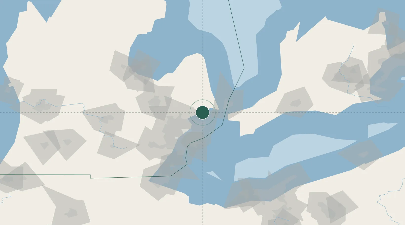
Hub Profile
Place type
Populated place
Region
Michigan
Population
1,744
Time zone
America/Detroit
Elevation
229 m
Location
Nearby Logistics Neighbours
Cities
- 1Richmond10 km
- 2Almont18 km
- 3Capac19 km
- 4Dryden24 km
- 5Lake Orion30 km
Ports
- 1St Clair31 km
- 2Courtright33 km
- 3Sombra34 km
- 4Algonac37 km
- 5Port Huron40 km
Airports
Trade Zones
DatabookThe Record of Consolidated Knowledge
United States beyond logistics?