UN/LOCODE hub · Canada
CACTM

Chatham

42.5500°, -82.2000°
43,550
Population
2
Transport functions

Transport Functions

Rail
Road
UN/LOCODE

Hub Profile

Place type
Populated place
GeoNames
Region
Ontario
GeoNames
Population
43,550
GeoNames
Time zone
America/Toronto
GeoNames
Elevation
183 m
GeoNames

Location

Location of CACTM
Natural Earth 10m (public domain) · Ontario · CACTM · 42.55, -82.20GoogleOSMYandex

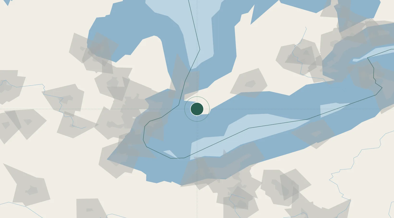
Nearby Logistics Neighbours

Cities
  1. 1Tupperville7 km
  2. 2Thamesville19 km
  3. 3Pain Court20 km
  4. 4Cottrellville31 km
  5. 5Inwood35 km
Nearest neighbours — logibook spatial index (haversine) over the source coordinates
Ports
  1. 1Algonac27 km
  2. 2Sombra30 km
  3. 3Courtright37 km
  4. 4St Clair38 km
  5. 5Rondeau40 km
Nearest neighbours — logibook spatial index (haversine) over the source coordinates
Airports
  1. 1Chris Hadfield Airport51 km
  2. 2Selfridge Air National Guard Base Airport53 km
  3. 3Coleman A. Young Municipal Airport68 km
  4. 4Windsor International Airport69 km
  5. 5St Thomas Municipal Airport92 km
Nearest neighbours — logibook spatial index (haversine) over the source coordinates
Trade Zones
  1. 1FTZ No. 210 St. Clair County41 km
  2. 2Windsor - Essex Foreign Trade Zone73 km
  3. 3FTZ No. 070 Detroit88 km
  4. 4FTZ No. 040 Cleveland121 km
  5. 5FTZ No. 140 Flint138 km
Nearest neighbours — logibook spatial index (haversine) over the source coordinates
DatabookThe Record of Consolidated Knowledge
Canada beyond logistics?
Browse databook

All Sources

LocationsUN/LOCODE
UN/LOCODE — free
LocationsGeoNames
CC BY 4.0
Portsthe NGA World Port Index
Public domain (US gov)
AirportsOurAirports
Public domain
Trade Zonesthe World Bank SEZ database
CC BY 4.0
Trade ZonesOpen Zone Map
CC BY
← Canada locations