Transport Functions
Rail
Road
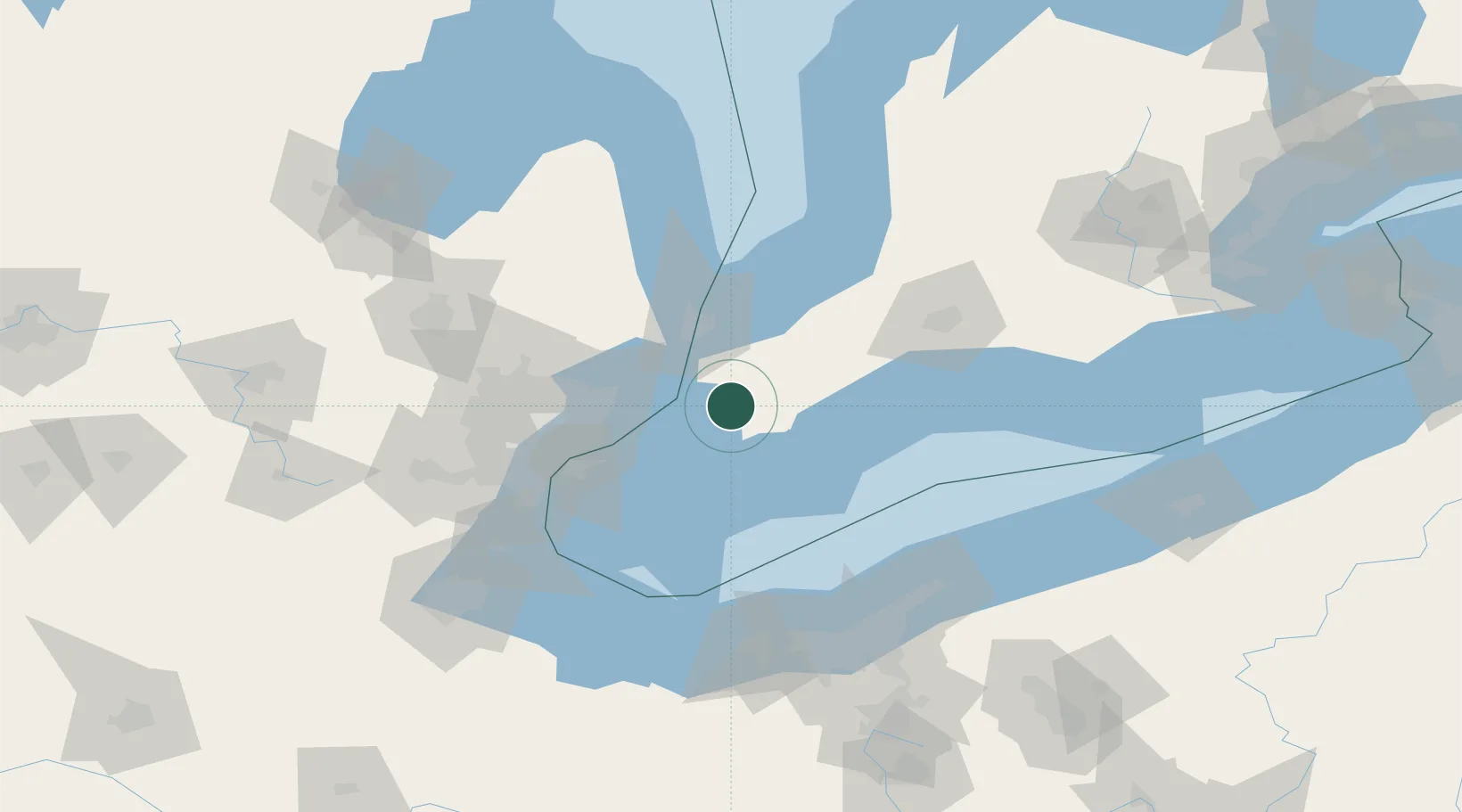
Hub Profile
Place type
Populated place
Region
Nova Scotia
Time zone
America/Halifax
Elevation
14 m
Location
Nearby Logistics Neighbours
Cities
- 1Chatham7 km
- 2Pain Court22 km
- 3Cottrellville25 km
- 4Thamesville25 km
- 5Inwood35 km
Ports
- 1Algonac21 km
- 2Sombra23 km
- 3Courtright31 km
- 4St Clair31 km
- 5Sarnia46 km
Airports
Trade Zones
- 1FTZ No. 210 St. Clair County35 km
- 2Windsor - Essex Foreign Trade Zone69 km
- 3FTZ No. 070 Detroit84 km
- 4FTZ No. 040 Cleveland126 km
- 5FTZ No. 140 Flint131 km
DatabookThe Record of Consolidated Knowledge
Canada beyond logistics?