UN/LOCODE hub · Ukraine
UAZUR

Nova Kakhovka

46.7500°, 33.3667°
44,427
Population
1
Transport functions

Transport Functions

Multimodal
UN/LOCODE

Hub Profile

Place type
Populated place
GeoNames
Region
Kherson
GeoNames
Population
44,427
GeoNames
Time zone
Europe/Kyiv
GeoNames
Elevation
16 m
GeoNames

Location

Location of UAZUR
Natural Earth 10m (public domain) · Kherson · UAZUR · 46.75, 33.37GoogleOSMYandex

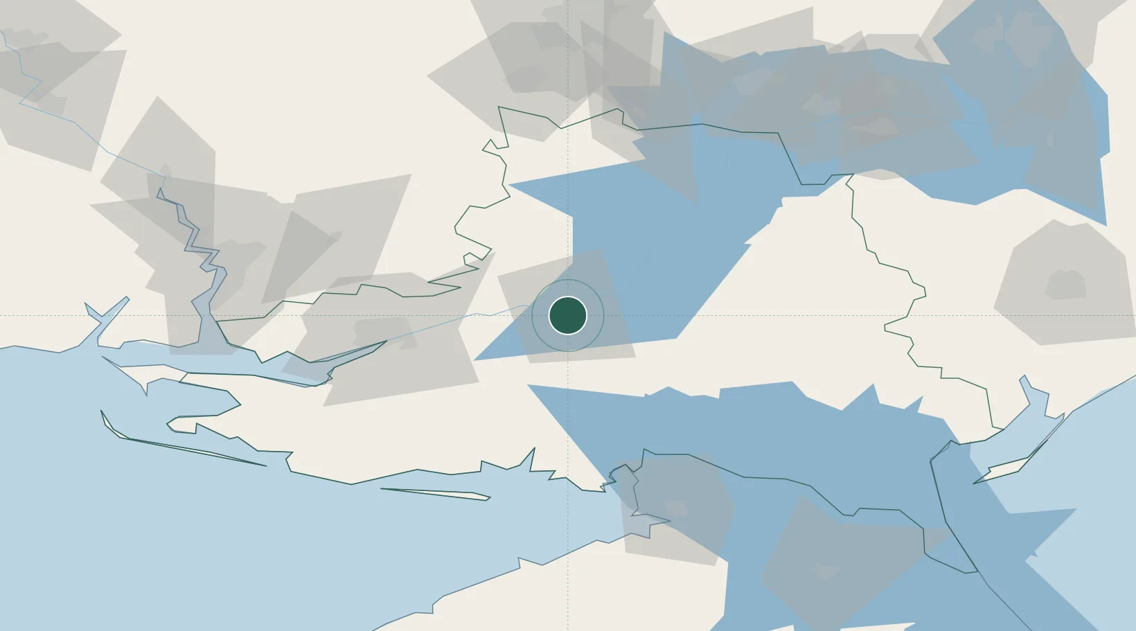
Nearby Logistics Neighbours

Cities
  1. 1Tsyurupyns'k54 km
  2. 2Kherson59 km
  3. 3Chernobayevka63 km
  4. 4Armyansk76 km
  5. 5Skadovsk81 km
Nearest neighbours — logibook spatial index (haversine) over the source coordinates
Ports
  1. 1Kherson60 km
  2. 2Skadovs'k80 km
  3. 3Mykolayiv108 km
  4. 4Port Oktyabrsk110 km
  5. 5Yevpatoriya172 km
Nearest neighbours — logibook spatial index (haversine) over the source coordinates
Airports
  1. 1Kherson International Airport66 km
  2. 2Mykolaiv International Airport115 km
  3. 3Dolgintsevo Air Base127 km
  4. 4Dzhankoy Air Base142 km
  5. 5Kryvyi Rih International Airport144 km
Nearest neighbours — logibook spatial index (haversine) over the source coordinates
DatabookThe Record of Consolidated Knowledge
Ukraine beyond logistics?
Browse databook

All Sources

LocationsUN/LOCODE
UN/LOCODE — free
LocationsGeoNames
CC BY 4.0
Portsthe NGA World Port Index
Public domain (US gov)
AirportsOurAirports
Public domain
Trade Zonesthe World Bank SEZ database
CC BY 4.0
Trade ZonesOpen Zone Map
CC BY
← Ukraine locations