UN/LOCODE hub · Ukraine
UAKHE

Kherson

46.6167°, 32.6167°
283,649
Population
2
Transport functions

Transport Functions

Port
Airport
Kherson is also a profiled seaport →
UN/LOCODE

Hub Profile

Place type
Regional capital
GeoNames
Region
Kherson
GeoNames
Population
283,649
GeoNames
Time zone
Europe/Kyiv
GeoNames
Elevation
41 m
GeoNames

Location

Location of UAKHE
Natural Earth 10m (public domain) · Kherson · UAKHE · 46.62, 32.62GoogleOSMYandex

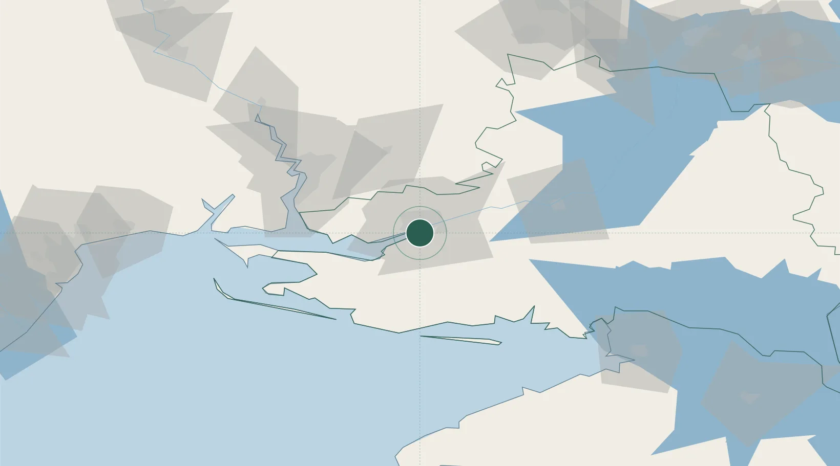
Nearby Logistics Neighbours

Cities
  1. 1Tsyurupyns'k7 km
  2. 2Chernobayevka9 km
  3. 3Olviia56 km
  4. 4Krasne57 km
  5. 5Mykolaiv59 km
Nearest neighbours — logibook spatial index (haversine) over the source coordinates
Ports
  1. 1Port Oktyabrsk57 km
  2. 2Mykolayiv61 km
  3. 3Skadovs'k62 km
  4. 4Yuzhnyy122 km
  5. 5Odesa145 km
Nearest neighbours — logibook spatial index (haversine) over the source coordinates
Airports
  1. 1Kherson International Airport11 km
  2. 2Mykolaiv International Airport72 km
  3. 3Odesa International Airport150 km
  4. 4Dolgintsevo Air Base157 km
  5. 5Kryvyi Rih International Airport165 km
Nearest neighbours — logibook spatial index (haversine) over the source coordinates
DatabookThe Record of Consolidated Knowledge
Ukraine beyond logistics?
Browse databook

All Sources

LocationsUN/LOCODE
UN/LOCODE — free
LocationsGeoNames
CC BY 4.0
Portsthe NGA World Port Index
Public domain (US gov)
AirportsOurAirports
Public domain
Trade Zonesthe World Bank SEZ database
CC BY 4.0
Trade ZonesOpen Zone Map
CC BY
← Ukraine locations