Medium airport · Ukraine

Kryvyi Rih International AirportUKDR
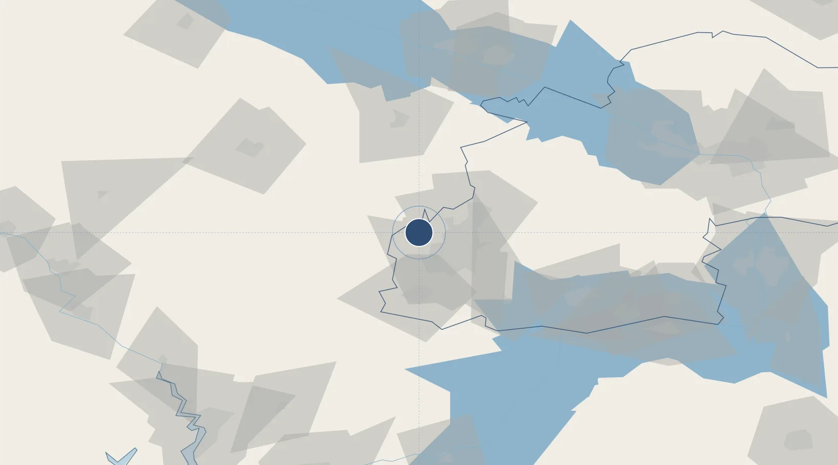
48.0433°, 33.2100°
8,202 ft
Longest runway
1
Runways
408 ft
Elevation

Runway & Layout

Kryvyi Rih International Airport runway & taxiway layout
Runway & taxiway layout — OpenStreetMap (ODbL) / OurAirports

Radio Frequencies

TWR
120.3 MHz
KRYVYI RIH TWR
PMSV
125.875 MHz
KRYVYI RIH METEO
OurAirports

Navaids

KVR DME Kryvyi Rih 116.00 MHz
OurAirports

Runways · 1

RunwayDimensions SurfaceTrue headingLit
18/36 8,202 × 138ft Concrete 186°
OurAirports

Airport Specifications

IATA code
KWG
OurAirports
ICAO code
UKDR
OurAirports
Airport class
Medium airport
OurAirports
Scheduled service
Yes
OurAirports
Runway surface
Concrete
OurAirports
Served city
Kryvyi Rih
OurAirports

Location

Location of UKDR
Natural Earth 10m (public domain) · Dnipropetrovs'k · UKDR · 48.04, 33.21GoogleOSMYandex

Nearby Logistics Neighbours

Airports
  1. 1Dolgintsevo Air Base30 km
  2. 2Dnipro International Airport144 km
  3. 3Mykolaiv International Airport146 km
  4. 4Zaporizhzhia International Airport158 km
  5. 5Kherson International Airport161 km
Nearest neighbours — logibook spatial index (haversine) over the source coordinates
Cities
  1. 1Aleksandria70 km
  2. 2Zolotaya Balka93 km
  3. 3Dniprovs'Ke109 km
  4. 4Horishni Plavni111 km
  5. 5Svitlovodsk112 km
Nearest neighbours — logibook spatial index (haversine) over the source coordinates
Ports
  1. 1Mykolayiv153 km
  2. 2Kherson165 km
  3. 3Port Oktyabrsk165 km
  4. 4Skadovs'k217 km
  5. 5Yuzhnyy230 km
Nearest neighbours — logibook spatial index (haversine) over the source coordinates
DatabookThe Record of Consolidated Knowledge
Ukraine beyond logistics?
Browse databook

All Sources

AirportsOurAirports
Public domain
Portsthe NGA World Port Index
Public domain (US gov)
LocationsUN/LOCODE
UN/LOCODE — free
Trade Zonesthe World Bank SEZ database
CC BY 4.0
Trade ZonesOpen Zone Map
CC BY
InfrastructureOpenStreetMap
ODbL 1.0
← Ukraine airports