Runway & Layout

Airport Specifications
Airport class
Medium airport
Scheduled service
No
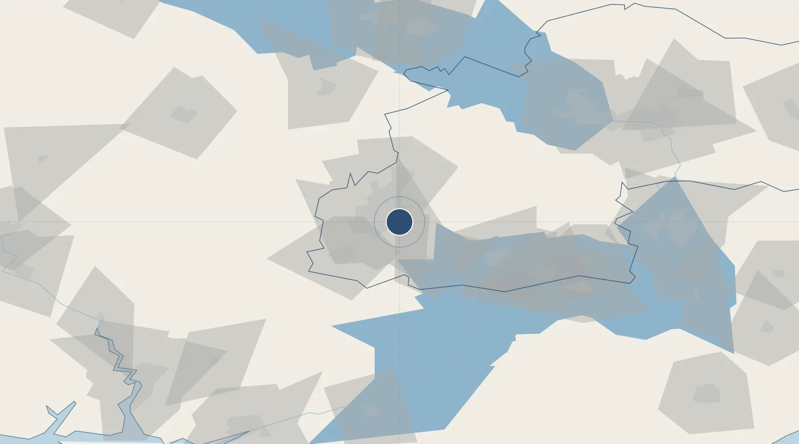
Served city
Kryvyi Rih
Location
Nearby Logistics Neighbours
Airports
Cities
- 1Zolotaya Balka66 km
- 2Aleksandria92 km
- 3Dniprovs'Ke103 km
- 4Horishni Plavni124 km
- 5Nova Kakhovka127 km
Ports
- 1Mykolayiv156 km
- 2Kherson158 km
- 3Port Oktyabrsk168 km
- 4Skadovs'k204 km
- 5Yuzhnyy238 km
DatabookThe Record of Consolidated Knowledge
Ukraine beyond logistics?